Medium airport · Canada
Havre-Saint-Pierre AirportCYGV
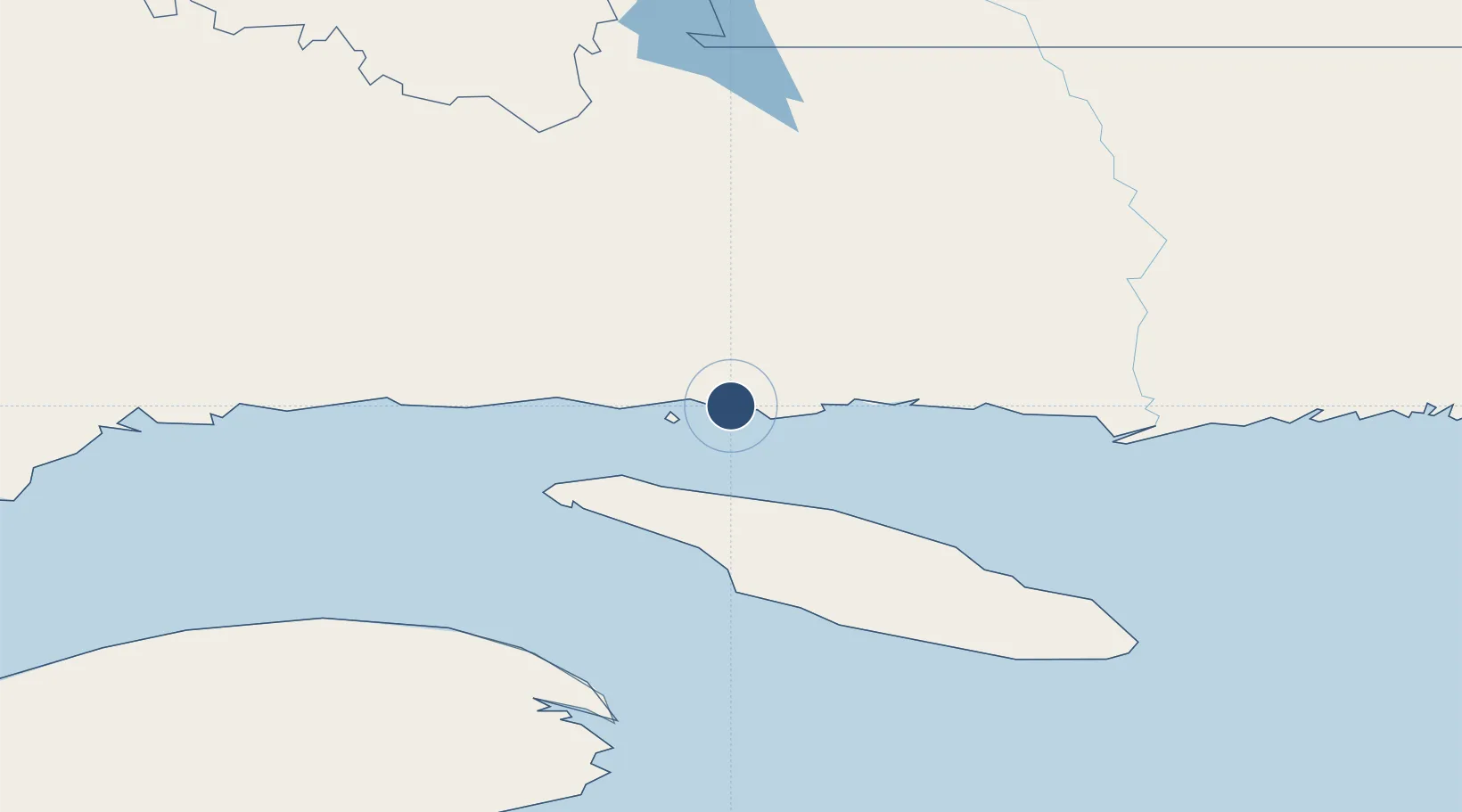
50.2819°, -63.6114°
4,500 ft
Longest runway
1
Runways
124 ft
Elevation
Runway & Layout

Radio Frequencies
AWOS
125.95 MHz
RCO
122 MHz
QUEBEC RDO
RDO
122 MHz
MF
Navaids
IGV DME Havre St Pierre 109.30 MHz
YGV NDB Havre St Pierre 344 kHz
Runways · 1
| Runway | Dimensions | Surface | True heading | Lit |
|---|---|---|---|---|
| 08/26 | 4,500 × 100ft | Asphalt | 063° | ✓ |
Airport Specifications
IATA code
YGV
ICAO code
CYGV
Airport class
Medium airport
Scheduled service
Yes
Runway surface
Asphalt
Served city
Havre-Saint-Pierre
Location
Nearby Logistics Neighbours
Airports
- 1Port-Menier Airport69 km
- 2Natashquan Airport130 km
- 3Kégashka Airport167 km
- 4Michel-Pouliot Gaspé Airport179 km
- 5Sept-Îles Airport189 km
Cities
- 1Baie-Johan-Beetz55 km
- 2Port-Menier74 km
- 3Fox River (=riviere-Au-Renard)156 km
- 4Gaspé173 km
- 5Sandy Beach173 km
Ports
- 1Havre St Pierre6 km
- 2Gaspe173 km
- 3Sept Iles197 km
- 4Pointe Noire205 km
- 5Port Cartier228 km
Trade Zones
- 1FTZ No. 179 Madawaska481 km
- 2Cape Breton Regional Municipality Foreign Trade Zone504 km
- 3Saint John586 km
- 4Halifax Gateway626 km
- 5Crossroads Business Park667 km
DatabookThe Record of Consolidated Knowledge
Canada beyond logistics?