Transport Functions
Port
Road
Hub Profile
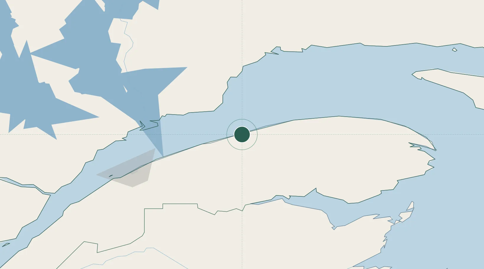
Place type
Populated place
Region
Quebec
Time zone
America/Toronto
Elevation
26 m
Location
Nearby Logistics Neighbours
Cities
- 1Cap-Chat23 km
- 2Sainte-Anne-des-Monts38 km
- 3Mont-Louis92 km
- 4Port-Cartier113 km
- 5Atholville115 km
Ports
- 1Matane45 km
- 2Baie Comeau89 km
- 3Dalhousie113 km
- 4Port Cartier116 km
- 5Rimouski129 km
Airports
- 1Matane Airport39 km
- 2Baie-Comeau Airport91 km
- 3Mont Joli Airport101 km
- 4Charlo Airport122 km
- 5Rimouski Airport126 km
Trade Zones
- 1FTZ No. 179 Madawaska217 km
- 2Québec City FTZ400 km
- 3Saint John420 km
- 4FTZ No. 058 Bangor487 km
- 5FTZ No. 186 Waterville537 km
DatabookThe Record of Consolidated Knowledge
Canada beyond logistics?