Medium airport · Canada
Charlo AirportCYCL
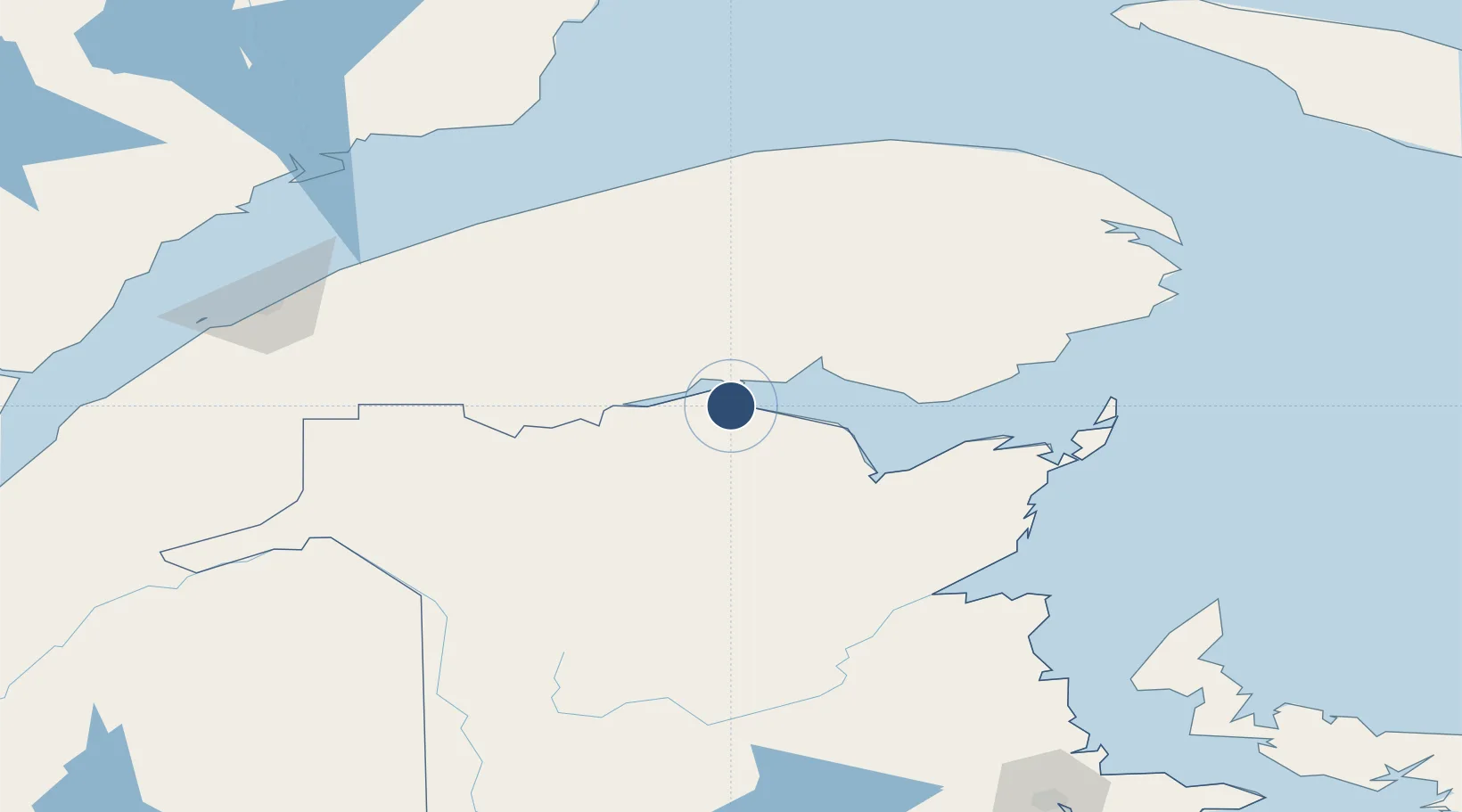
47.9908°, -66.3303°
6,000 ft
Longest runway
1
Runways
132 ft
Elevation
Runway & Layout

Radio Frequencies
A/G
122.2 MHz
MF
ATF
122.2 MHz
CNTR
134.25 MHz
MONCTON CNTR
RCO
126.7 MHz
QUEBEC RDO
Navaids
CL NDB Charlo 207 kHz
Runways · 1
| Runway | Dimensions | Surface | True heading | Lit |
|---|---|---|---|---|
| 12/30 | 6,000 × 150ft | Asphalt | 105° | ✓ |
Airport Specifications
IATA code
YCL
ICAO code
CYCL
Airport class
Medium airport
Scheduled service
Yes
Runway surface
Asphalt
Served city
Charlo
Location
Nearby Logistics Neighbours
Airports
- 1Bathurst Airport60 km
- 2Bonaventure Airport65 km
- 3Matane Airport127 km
- 4Miramichi Airport128 km
- 5Saint-Léonard Airport146 km
Cities
- 1Atholville29 km
- 2Beresford58 km
- 3Port-Daniel102 km
- 4Port-Daniel - Gascons107 km
- 5Les Mechins122 km
Trade Zones
- 1FTZ No. 179 Madawaska170 km
- 2Saint John303 km
- 3Québec City FTZ392 km
- 4FTZ No. 058 Bangor402 km
- 5Halifax Gateway427 km
DatabookThe Record of Consolidated Knowledge
Canada beyond logistics?