Transport Functions
Port
Road
Hub Profile
Region
QC
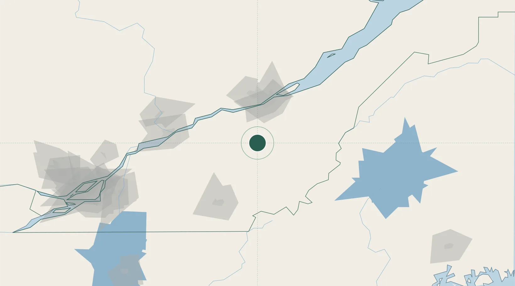
Location
Nearby Logistics Neighbours
Cities
- 1Robertsonville16 km
- 2Saint-Patrice-de-Beaurivage25 km
- 3Saint-Séverin28 km
- 4Dosquet30 km
- 5Tring Jonction30 km
Ports
- 1Quebec68 km
- 2Port De Becancour80 km
- 3Trois Rivieres91 km
- 4Sorel135 km
- 5Contrecour145 km
Airports
Trade Zones
- 1Québec City FTZ69 km
- 2Greater Montreal Free Zone Center186 km
- 3FTZ No. 186 Waterville228 km
- 4FTZ No. 263 Auburn253 km
- 5FTZ No. 058 Bangor254 km
DatabookThe Record of Consolidated Knowledge
Canada beyond logistics?