Transport Functions
Port
Airport
Hub Profile
Place type
Populated place
Region
Newfoundland and Labrador
Population
312
Time zone
America/St_Johns
Elevation
8 m
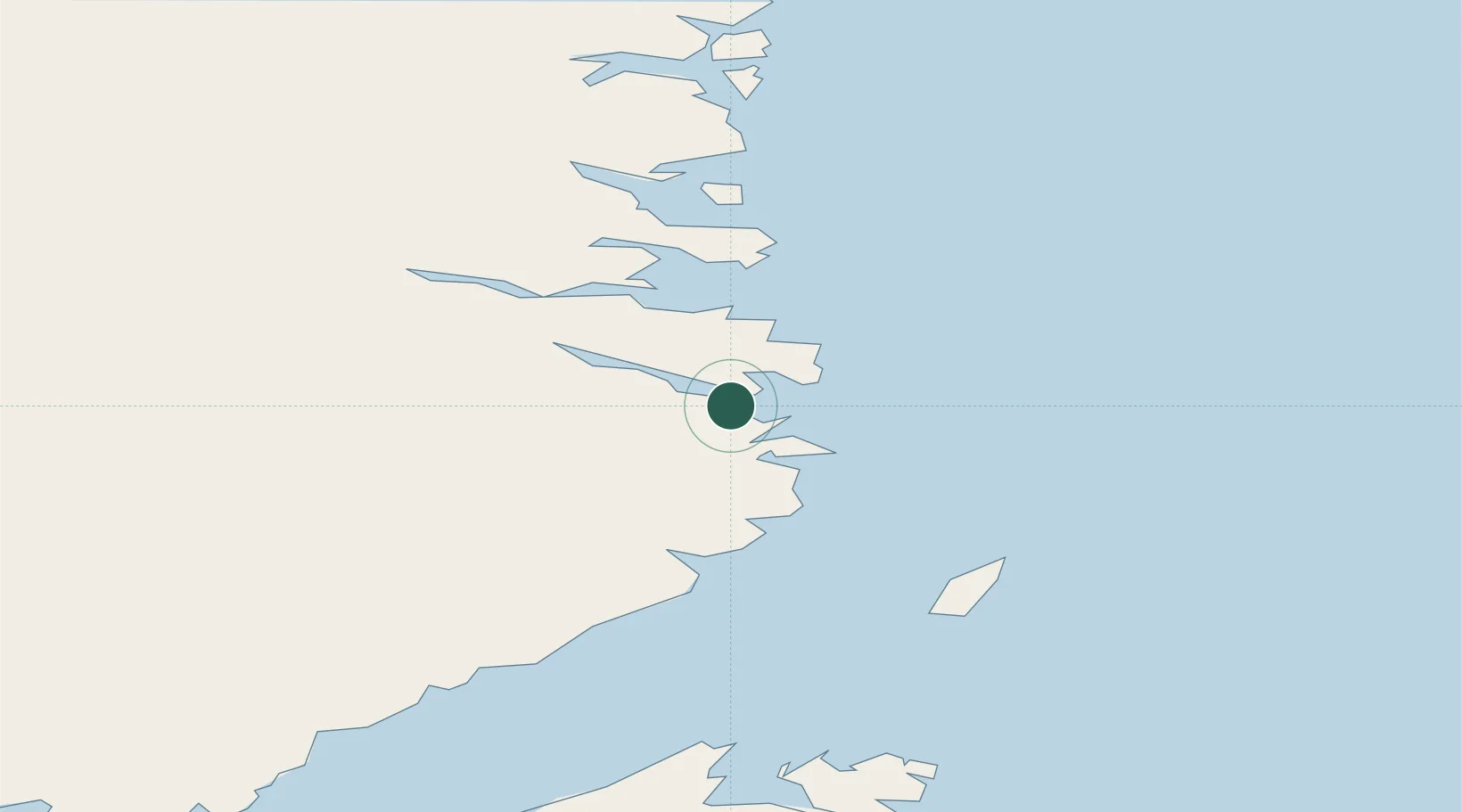
Location
Nearby Logistics Neighbours
Cities
- 1Williams Harbour26 km
- 2Red Bay76 km
- 3Saint-Anthony105 km
- 4L'Anse-au-Loup112 km
- 5Main Brook127 km
Ports
- 1St Anthony107 km
- 2Blanc Sablon134 km
- 3Roddickton163 km
- 4Baie Verte268 km
- 5Twillingate306 km
Airports
Trade Zones
- 1Crossroads Business Park385 km
- 2Cape Breton Regional Municipality Foreign Trade Zone771 km
- 3Halifax Gateway1025 km
- 4FTZ No. 179 Madawaska1056 km
- 5Saint John1082 km
DatabookThe Record of Consolidated Knowledge
Canada beyond logistics?