Transport Functions
Port
Airport
Hub Profile
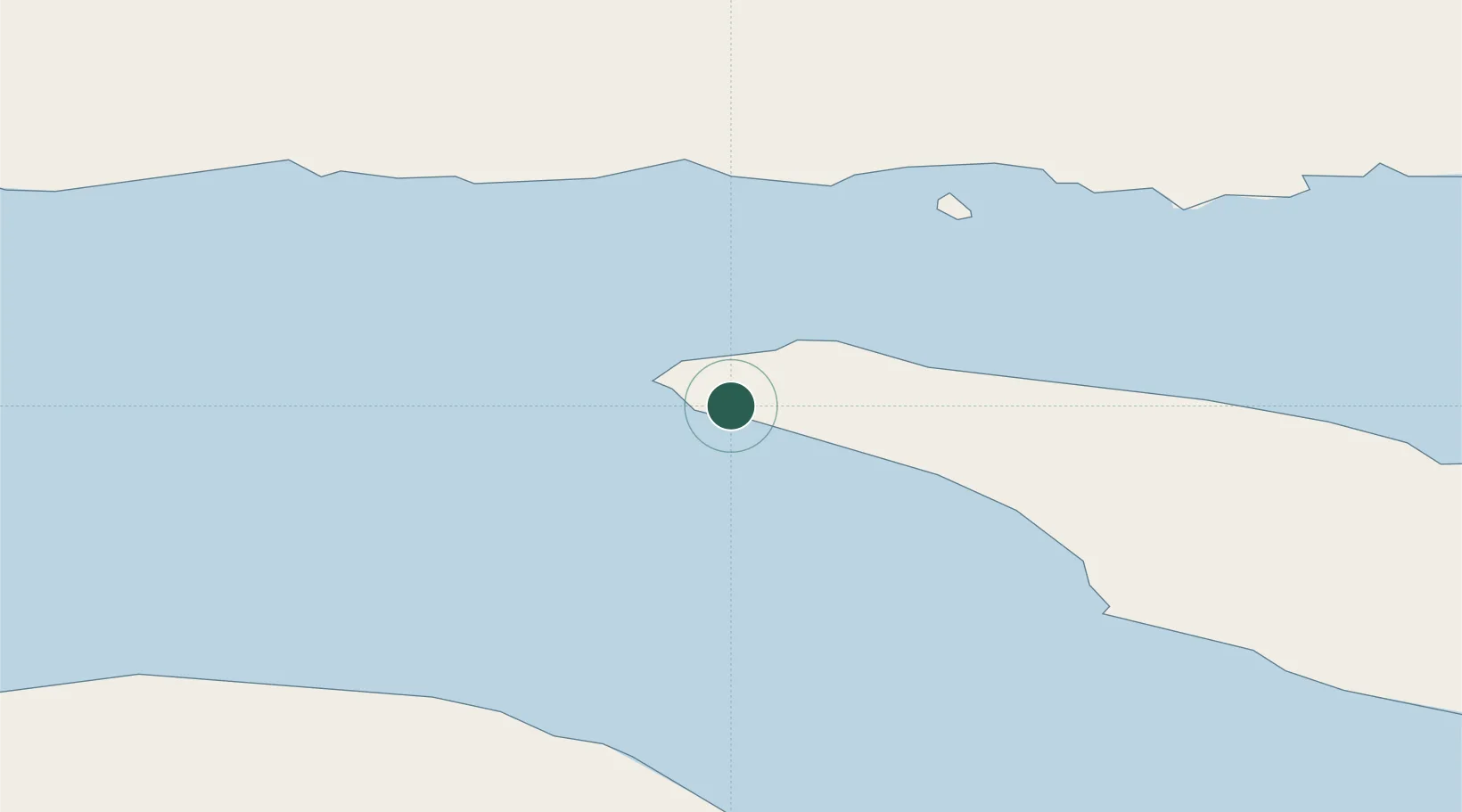
Place type
Populated place
Region
Quebec
Population
177
Time zone
America/Toronto
Elevation
7 m
Location
Nearby Logistics Neighbours
Cities
- 1Fox River (=riviere-Au-Renard)95 km
- 2Gaspé110 km
- 3Sandy Beach111 km
- 4Baie-Johan-Beetz121 km
- 5Mont-Louis121 km
Ports
- 1Havre St Pierre71 km
- 2Gaspe110 km
- 3Sept Iles151 km
- 4Pointe Noire157 km
- 5Port Cartier176 km
Airports
- 1Port-Menier Airport5 km
- 2Havre-Saint-Pierre Airport74 km
- 3Michel-Pouliot Gaspé Airport116 km
- 4Sept-Îles Airport144 km
- 5Natashquan Airport188 km
Trade Zones
- 1FTZ No. 179 Madawaska407 km
- 2Cape Breton Regional Municipality Foreign Trade Zone486 km
- 3Saint John521 km
- 4Halifax Gateway577 km
- 5Québec City FTZ609 km
DatabookThe Record of Consolidated Knowledge
Canada beyond logistics?