UN/LOCODE hub · Canada
CAQCF
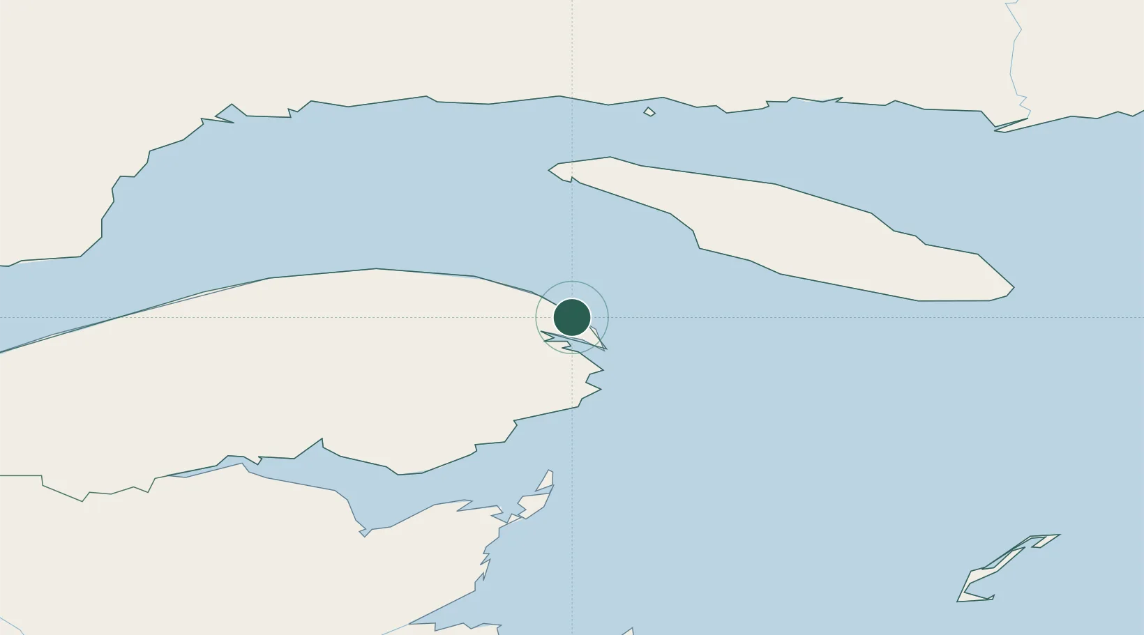
Fox River (=riviere-Au-Renard)
48.9667°, -64.3667°
2
Transport functions
Transport Functions
Road
Multimodal
Hub Profile
Region
QC
Location
Nearby Logistics Neighbours
Cities
- 1Sandy Beach17 km
- 2Gaspé17 km
- 3L'Anse-à-Beaufils56 km
- 4Grande Riviere66 km
- 5Port-Menier95 km
Ports
- 1Gaspe17 km
- 2Caraquet136 km
- 3Shippegan138 km
- 4Havre St Pierre151 km
- 5Dalhousie178 km
Airports
- 1Michel-Pouliot Gaspé Airport23 km
- 2Port-Menier Airport97 km
- 3Bonaventure Airport128 km
- 4Havre-Saint-Pierre Airport156 km
- 5Bathurst Airport180 km
Trade Zones
- 1FTZ No. 179 Madawaska349 km
- 2Cape Breton Regional Municipality Foreign Trade Zone413 km
- 3Saint John430 km
- 4Halifax Gateway484 km
- 5Québec City FTZ566 km
DatabookThe Record of Consolidated Knowledge
Canada beyond logistics?