Transport Functions
Port
Airport
Hub Profile
Place type
Populated place
Region
Quebec
Population
14,819
Time zone
America/Toronto
Elevation
15 m
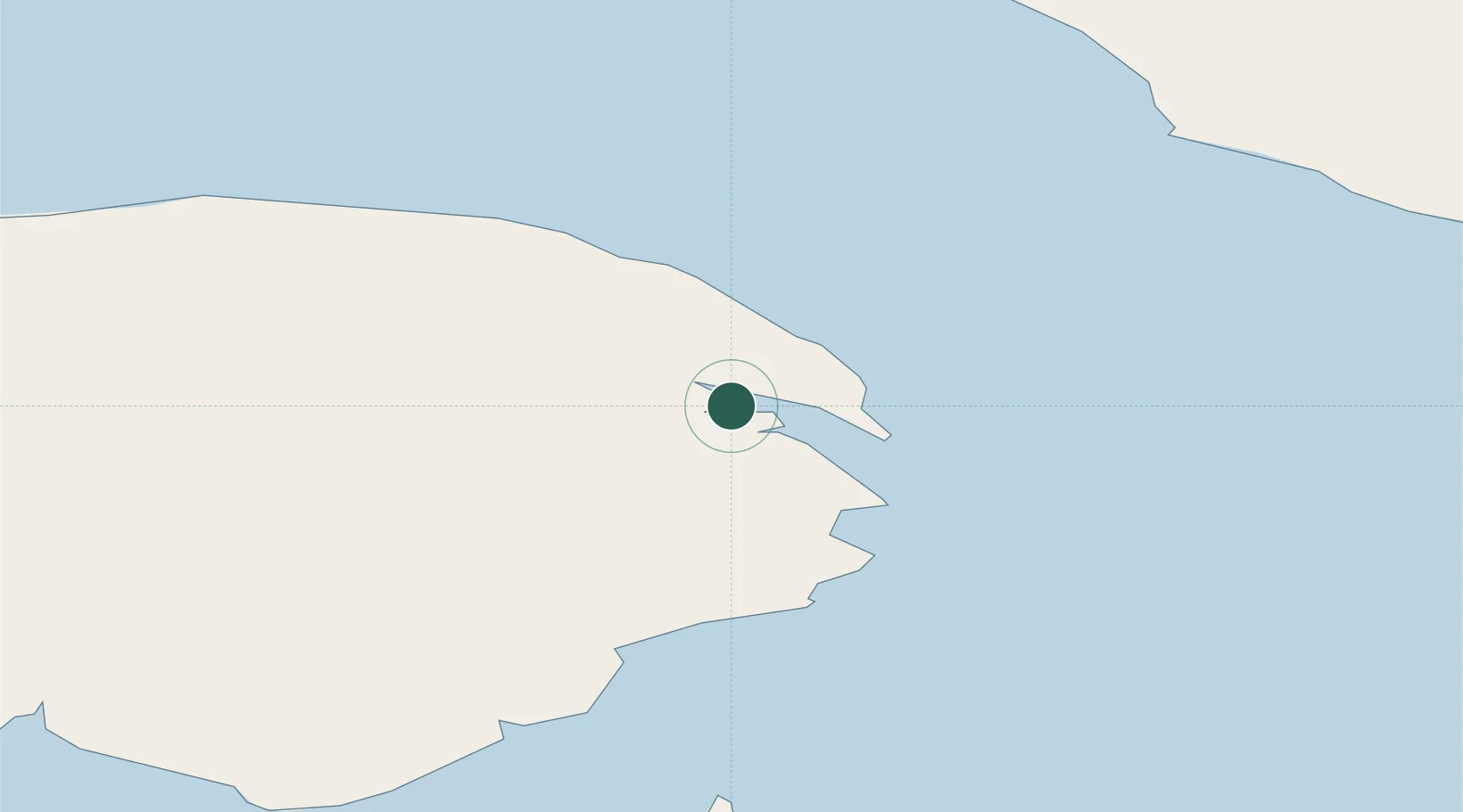
Location
Nearby Logistics Neighbours
Cities
- 1Sandy Beach5 km
- 2Fox River (=riviere-Au-Renard)17 km
- 3L'Anse-à-Beaufils43 km
- 4Grande Riviere50 km
- 5Port-Daniel - Gascons81 km
Ports
- 1Caraquet120 km
- 2Shippegan122 km
- 3Dalhousie163 km
- 4Havre St Pierre168 km
- 5Sept Iles205 km
Airports
- 1Michel-Pouliot Gaspé Airport7 km
- 2Bonaventure Airport111 km
- 3Port-Menier Airport112 km
- 4Bathurst Airport163 km
- 5Charlo Airport165 km
Trade Zones
- 1FTZ No. 179 Madawaska335 km
- 2Cape Breton Regional Municipality Foreign Trade Zone408 km
- 3Saint John414 km
- 4Halifax Gateway470 km
- 5Québec City FTZ552 km
DatabookThe Record of Consolidated Knowledge
Canada beyond logistics?