Medium airport · Canada
Natashquan AirportCYNA
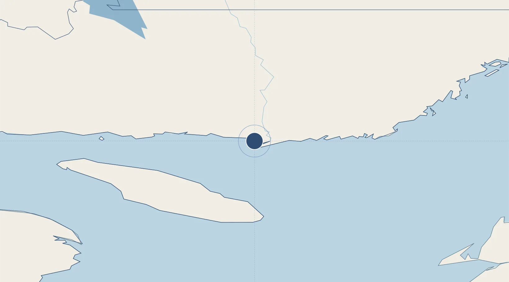
50.1901°, -61.7890°
4,494 ft
Longest runway
1
Runways
39 ft
Elevation
Runway & Layout

Radio Frequencies
AWOS
126.25 MHz
RCO
122.2 MHz
QUEBEC RDO
RDO
122.2 MHz
MF QUEBEC RDO
Navaids
NA NDB Natash 385 kHz
YNA VOR-DME Natash 113.60 MHz
Runways · 1
| Runway | Dimensions | Surface | True heading | Lit |
|---|---|---|---|---|
| 14/32 | 4,494 × 100ft | Asphalt | 118° | ✓ |
Airport Specifications
IATA code
YNA
ICAO code
CYNA
Airport class
Medium airport
Scheduled service
Yes
Runway surface
Asphalt
Served city
Natashquan
Location
Nearby Logistics Neighbours
Airports
- 1Kégashka Airport37 km
- 2La Romaine Airport80 km
- 3Havre-Saint-Pierre Airport130 km
- 4Chevery Airport156 km
- 5Tête-à-la-Baleine Airport179 km
Cities
- 1Baie-Johan-Beetz75 km
- 2Port-Menier188 km
- 3Fox River (=riviere-Au-Renard)230 km
- 4Sandy Beach244 km
- 5Gaspé246 km
Ports
- 1Havre St Pierre129 km
- 2Gaspe246 km
- 3Stephenville299 km
- 4Corner Brook309 km
- 5Shippegan345 km
Trade Zones
- 1Cape Breton Regional Municipality Foreign Trade Zone454 km
- 2Crossroads Business Park538 km
- 3FTZ No. 179 Madawaska579 km
- 4Halifax Gateway631 km
- 5Saint John633 km
DatabookThe Record of Consolidated Knowledge
Canada beyond logistics?