Transport Functions
Port
Road
Hub Profile
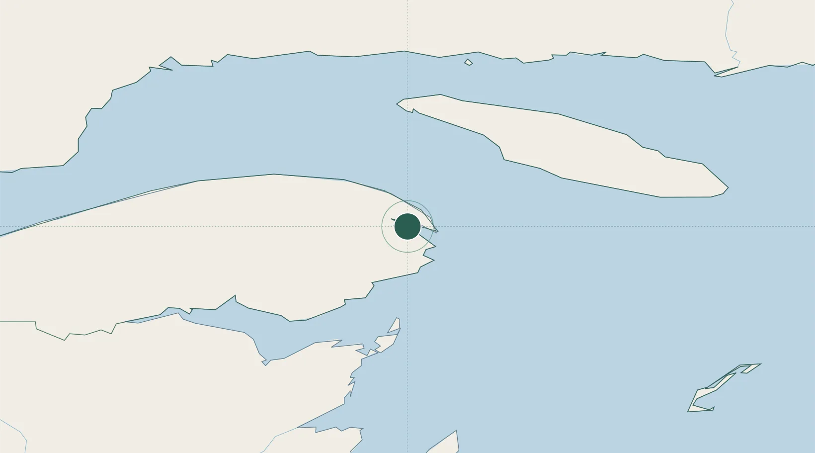
Place type
Populated place
Region
Ontario
Time zone
America/Toronto
Elevation
91 m
Location
Nearby Logistics Neighbours
Cities
- 1Gaspé5 km
- 2Fox River (=riviere-Au-Renard)17 km
- 3L'Anse-à-Beaufils40 km
- 4Grande Riviere49 km
- 5Port-Daniel - Gascons81 km
Ports
- 1Gaspe5 km
- 2Caraquet119 km
- 3Shippegan120 km
- 4Dalhousie166 km
- 5Havre St Pierre168 km
Airports
- 1Michel-Pouliot Gaspé Airport7 km
- 2Bonaventure Airport113 km
- 3Port-Menier Airport114 km
- 4Bathurst Airport164 km
- 5Charlo Airport169 km
Trade Zones
- 1FTZ No. 179 Madawaska338 km
- 2Cape Breton Regional Municipality Foreign Trade Zone403 km
- 3Saint John413 km
- 4Halifax Gateway468 km
- 5Québec City FTZ556 km
DatabookThe Record of Consolidated Knowledge
Canada beyond logistics?