Transport Functions
Port
Road
Airport
Hub Profile
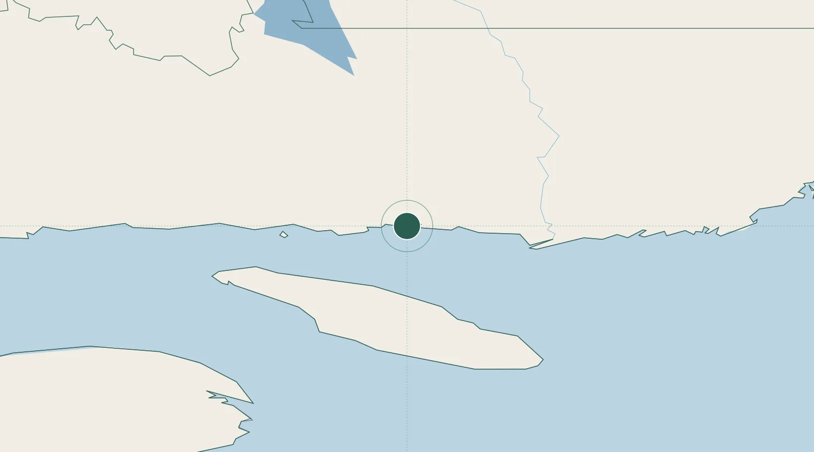
Place type
Populated place
Region
Quebec
Time zone
America/Toronto
Location
Nearby Logistics Neighbours
Cities
- 1Port-Menier121 km
- 2Fox River (=riviere-Au-Renard)185 km
- 3Sandy Beach201 km
- 4Gaspé202 km
- 5L'Anse-à-Beaufils230 km
Ports
- 1Havre St Pierre55 km
- 2Gaspe202 km
- 3Sept Iles253 km
- 4Pointe Noire260 km
- 5Port Cartier283 km
Airports
- 1Havre-Saint-Pierre Airport55 km
- 2Natashquan Airport75 km
- 3Kégashka Airport112 km
- 4Port-Menier Airport116 km
- 5La Romaine Airport154 km
Trade Zones
- 1Cape Breton Regional Municipality Foreign Trade Zone485 km
- 2FTZ No. 179 Madawaska525 km
- 3Saint John609 km
- 4Crossroads Business Park613 km
- 5Halifax Gateway631 km
DatabookThe Record of Consolidated Knowledge
Canada beyond logistics?