Medium airport · Canada
Michel-Pouliot Gaspé AirportCYGP
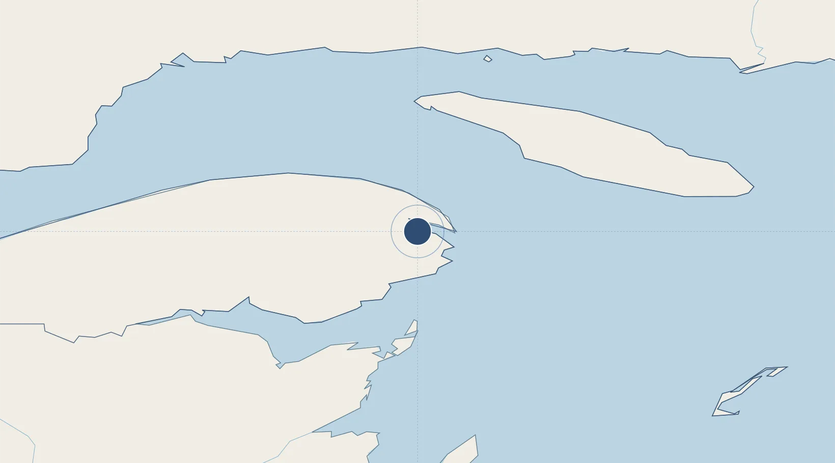
48.7749°, -64.4819°
5,488 ft
Longest runway
1
Runways
112 ft
Elevation
Runway & Layout

Radio Frequencies
RCO
122.3 MHz
QUEBEC RDO
RDO
122.3 MHz
MF QUEBEC RDO
Navaids
GP NDB Gaspe 232 kHz
YGP VOR-DME Gaspe 115.40 MHz
Runways · 1
| Runway | Dimensions | Surface | True heading | Lit |
|---|---|---|---|---|
| 10/28 | 5,488 × 150ft | Asphalt | 084° | ✓ |
Airport Specifications
IATA code
YGP
ICAO code
CYGP
Airport class
Medium airport
Scheduled service
Yes
Runway surface
Asphalt
Served city
Gaspé
Location
Nearby Logistics Neighbours
Airports
- 1Bonaventure Airport107 km
- 2Port-Menier Airport119 km
- 3Bathurst Airport158 km
- 4Charlo Airport162 km
- 5Havre-Saint-Pierre Airport179 km
Cities
- 1Gaspé7 km
- 2Sandy Beach7 km
- 3Fox River (=riviere-Au-Renard)23 km
- 4L'Anse-à-Beaufils37 km
- 5Grande Riviere44 km
Ports
- 1Gaspe7 km
- 2Caraquet113 km
- 3Shippegan115 km
- 4Dalhousie160 km
- 5Havre St Pierre174 km
Trade Zones
- 1FTZ No. 179 Madawaska332 km
- 2Cape Breton Regional Municipality Foreign Trade Zone403 km
- 3Saint John407 km
- 4Halifax Gateway464 km
- 5Québec City FTZ550 km
DatabookThe Record of Consolidated Knowledge
Canada beyond logistics?