Transport Functions
Port
Road
Hub Profile
Place type
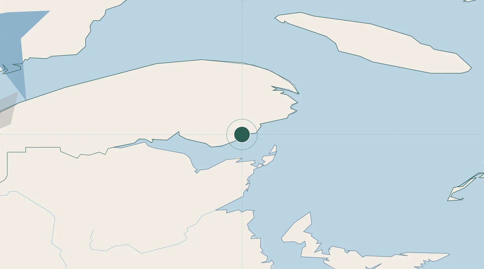
Populated place
Region
Quebec
Time zone
America/Toronto
Elevation
4 m
Location
Nearby Logistics Neighbours
Cities
- 1Port-Daniel - Gascons5 km
- 2Grande Riviere42 km
- 3L'Anse-à-Beaufils60 km
- 4Beresford77 km
- 5Gaspé81 km
Airports
- 1Bonaventure Airport38 km
- 2Michel-Pouliot Gaspé Airport76 km
- 3Bathurst Airport83 km
- 4Charlo Airport102 km
- 5Miramichi Airport135 km
Trade Zones
- 1FTZ No. 179 Madawaska270 km
- 2Saint John334 km
- 3Cape Breton Regional Municipality Foreign Trade Zone391 km
- 4Halifax Gateway407 km
- 5FTZ No. 058 Bangor476 km
DatabookThe Record of Consolidated Knowledge
Canada beyond logistics?