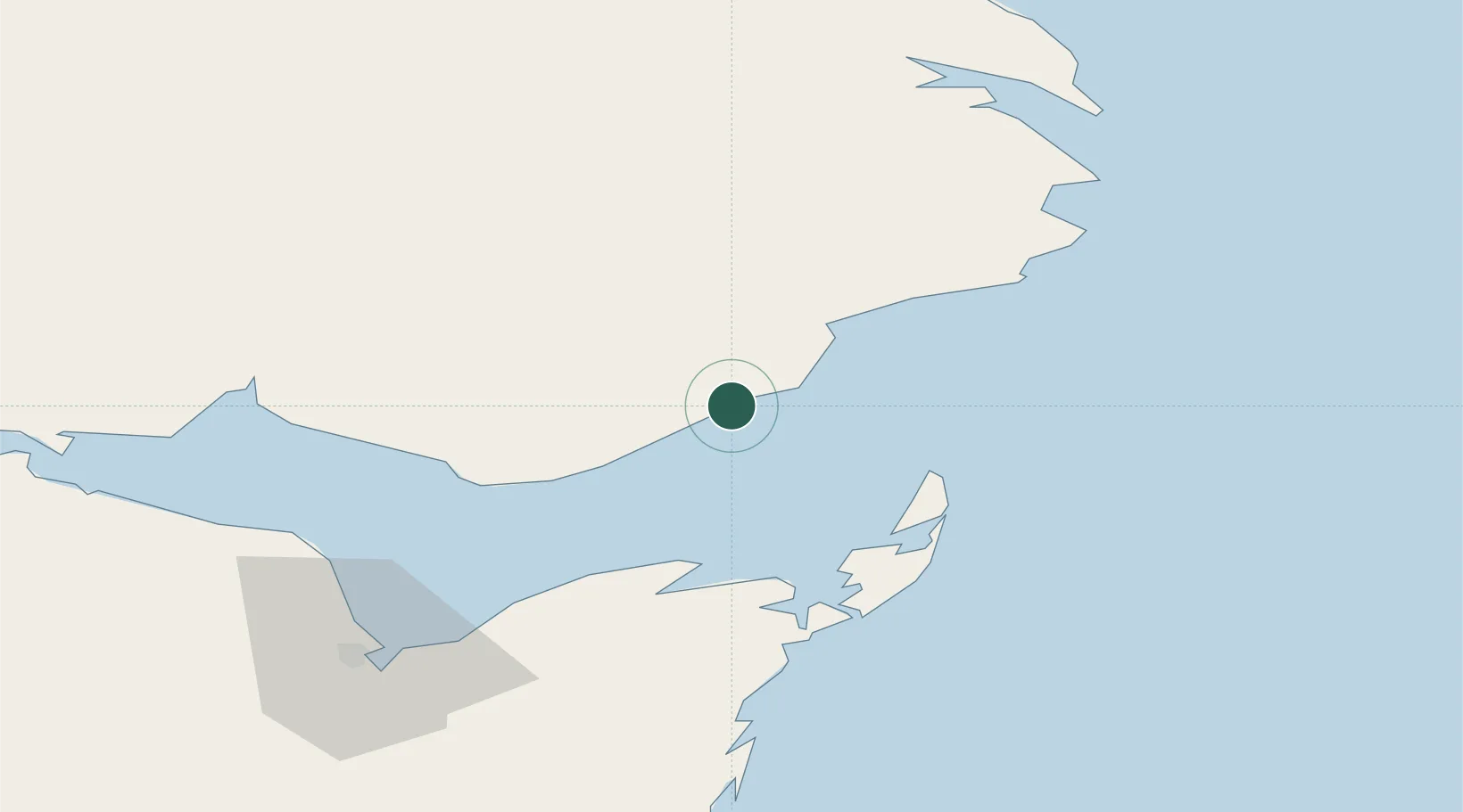
UN/LOCODE hub · Canada
CAGPD

Port-Daniel - Gascons

48.1667°, -64.9167°
1
Transport functions

Transport Functions

Port
UN/LOCODE

Hub Profile

Region
QC
GeoNames

Location

Location of CAGPD
Natural Earth 10m (public domain) · QC · CAGPD · 48.17, -64.92GoogleOSMYandex

Nearby Logistics Neighbours

Cities
  1. 1Port-Daniel5 km
  2. 2Grande Riviere39 km
  3. 3L'Anse-à-Beaufils57 km
  4. 4Beresford79 km
  5. 5Gaspé81 km
Nearest neighbours — logibook spatial index (haversine) over the source coordinates
Ports
  1. 1Caraquet41 km
  2. 2Shippegan49 km
  3. 3Gaspe81 km
  4. 4Dalhousie108 km
  5. 5Matane207 km
Nearest neighbours — logibook spatial index (haversine) over the source coordinates
Airports
  1. 1Bonaventure Airport42 km
  2. 2Michel-Pouliot Gaspé Airport75 km
  3. 3Bathurst Airport86 km
  4. 4Charlo Airport107 km
  5. 5Miramichi Airport135 km
Nearest neighbours — logibook spatial index (haversine) over the source coordinates
Trade Zones
  1. 1FTZ No. 179 Madawaska274 km
  2. 2Saint John333 km
  3. 3Cape Breton Regional Municipality Foreign Trade Zone386 km
  4. 4Halifax Gateway404 km
  5. 5FTZ No. 058 Bangor478 km
Nearest neighbours — logibook spatial index (haversine) over the source coordinates
DatabookThe Record of Consolidated Knowledge
Canada beyond logistics?
Browse databook

All Sources

LocationsUN/LOCODE
UN/LOCODE — free
Portsthe NGA World Port Index
Public domain (US gov)
AirportsOurAirports
Public domain
Trade Zonesthe World Bank SEZ database
CC BY 4.0
Trade ZonesOpen Zone Map
CC BY
← Canada locations