Transport Functions
Port
Rail
Road
Hub Profile
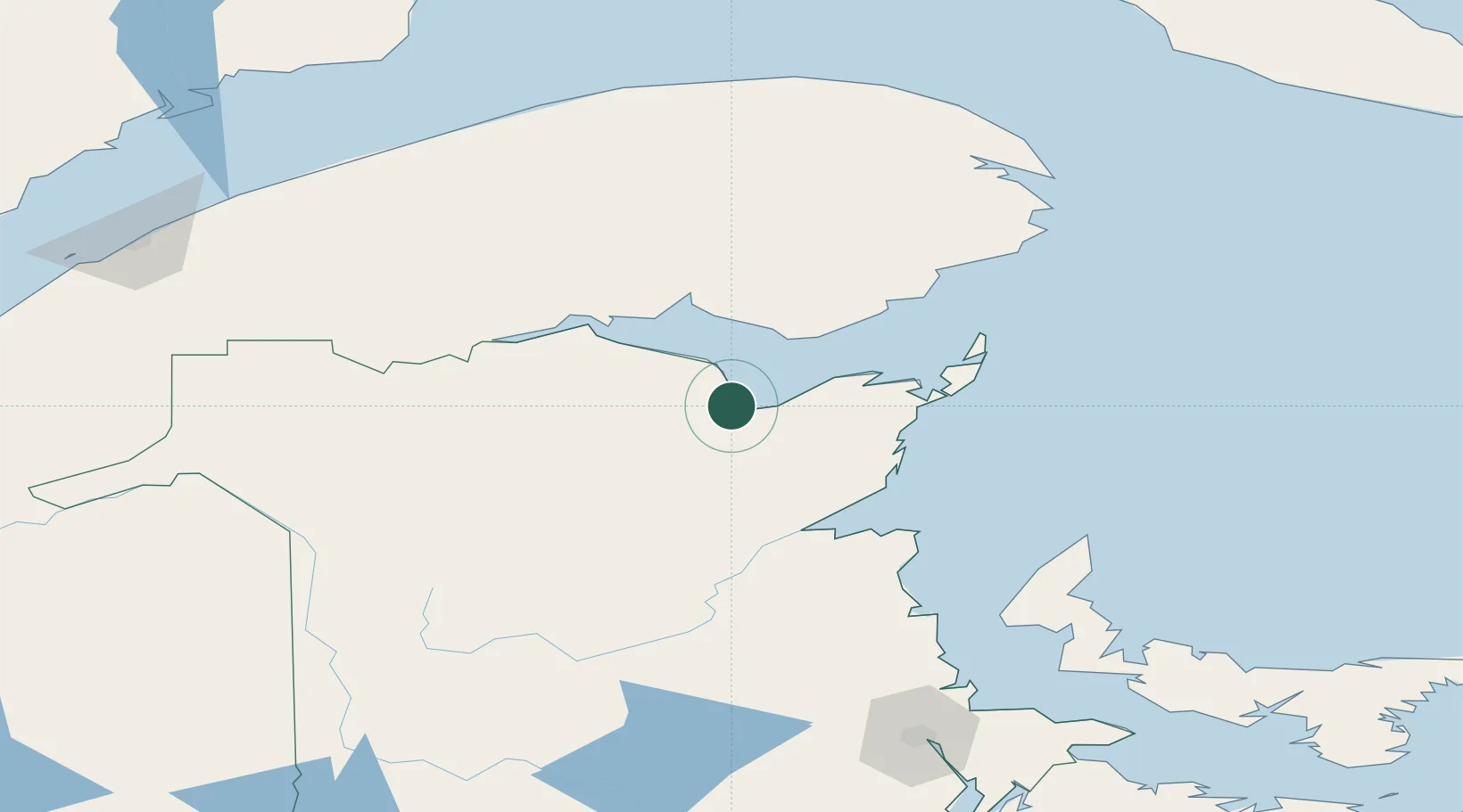
Place type
Populated place
Region
New Brunswick
Population
4,294
Time zone
America/Moncton
Elevation
10 m
Location
Nearby Logistics Neighbours
Cities
- 1Millbank73 km
- 2Port-Daniel77 km
- 3Port-Daniel - Gascons79 km
- 4Atholville83 km
- 5Grande Riviere118 km
Airports
- 1Bathurst Airport7 km
- 2Bonaventure Airport47 km
- 3Charlo Airport58 km
- 4Miramichi Airport78 km
- 5Michel-Pouliot Gaspé Airport151 km
Trade Zones
- 1FTZ No. 179 Madawaska203 km
- 2Saint John269 km
- 3Halifax Gateway375 km
- 4FTZ No. 058 Bangor400 km
- 5Cape Breton Regional Municipality Foreign Trade Zone412 km
DatabookThe Record of Consolidated Knowledge
Canada beyond logistics?