Transport Functions
Multimodal
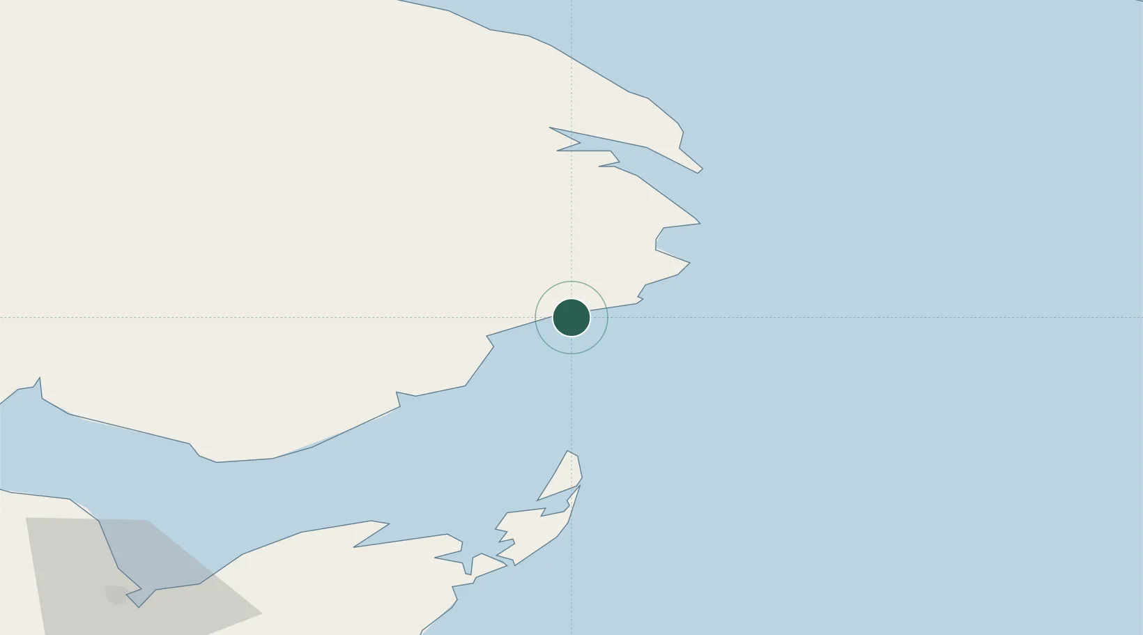
Hub Profile
Place type
Populated place
Region
Quebec
Time zone
America/Toronto
Elevation
11 m
Location
Nearby Logistics Neighbours
Cities
- 1L'Anse-à-Beaufils17 km
- 2Port-Daniel - Gascons39 km
- 3Port-Daniel42 km
- 4Sandy Beach49 km
- 5Gaspé50 km
Ports
- 1Gaspe50 km
- 2Shippegan72 km
- 3Caraquet72 km
- 4Dalhousie143 km
- 5Havre St Pierre216 km
Airports
- 1Michel-Pouliot Gaspé Airport44 km
- 2Bonaventure Airport79 km
- 3Bathurst Airport125 km
- 4Charlo Airport143 km
- 5Port-Menier Airport162 km
Trade Zones
- 1FTZ No. 179 Madawaska312 km
- 2Saint John366 km
- 3Cape Breton Regional Municipality Foreign Trade Zone375 km
- 4Halifax Gateway421 km
- 5FTZ No. 058 Bangor516 km
DatabookThe Record of Consolidated Knowledge
Canada beyond logistics?