Transport Functions
Port
Rail
Multimodal
Hub Profile
Region
QC
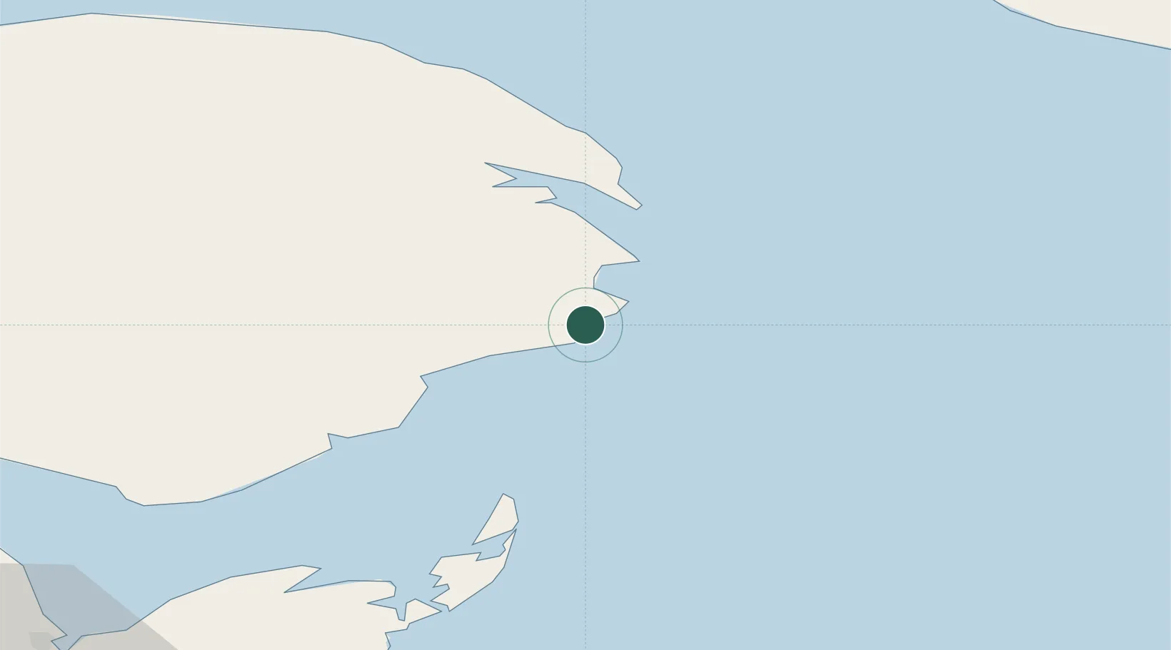
Location
Nearby Logistics Neighbours
Cities
- 1Grande Riviere17 km
- 2Sandy Beach40 km
- 3Gaspé43 km
- 4Fox River (=riviere-Au-Renard)56 km
- 5Port-Daniel - Gascons57 km
Ports
- 1Gaspe43 km
- 2Shippegan85 km
- 3Caraquet88 km
- 4Dalhousie159 km
- 5Havre St Pierre203 km
Airports
- 1Michel-Pouliot Gaspé Airport37 km
- 2Bonaventure Airport97 km
- 3Bathurst Airport142 km
- 4Port-Menier Airport152 km
- 5Charlo Airport159 km
Trade Zones
- 1FTZ No. 179 Madawaska329 km
- 2Cape Breton Regional Municipality Foreign Trade Zone370 km
- 3Saint John380 km
- 4Halifax Gateway428 km
- 5FTZ No. 058 Bangor533 km
DatabookThe Record of Consolidated Knowledge
Canada beyond logistics?