Transport Functions
Multimodal
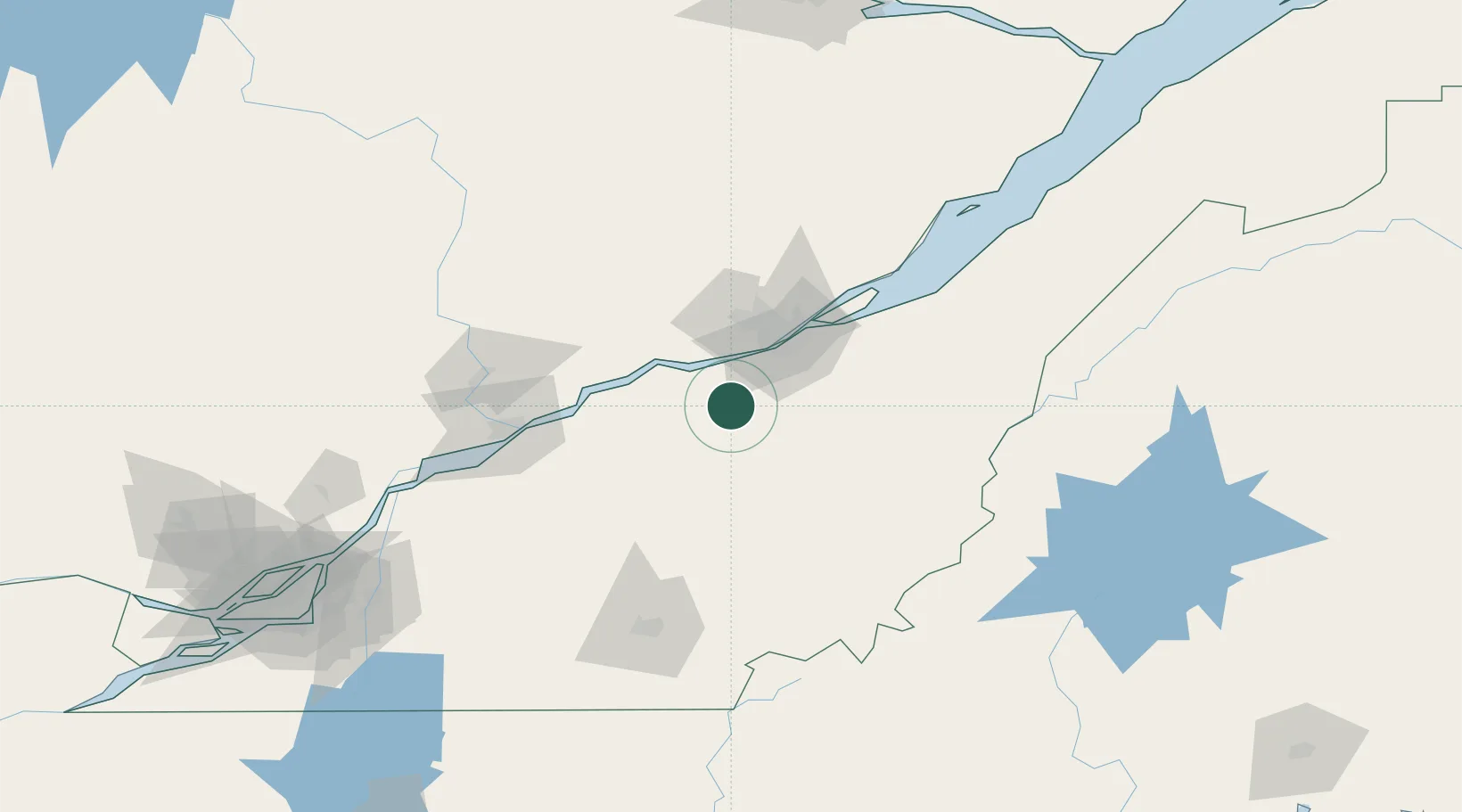
Hub Profile
Place type
Populated place
Region
Quebec
Time zone
America/Toronto
Elevation
139 m
Location
Nearby Logistics Neighbours
Cities
- 1Laurier-Station12 km
- 2Saint-Patrice-de-Beaurivage22 km
- 3Villeroy30 km
- 4Kinnear's Mills30 km
- 5Pont-Rouge35 km
Ports
- 1Quebec45 km
- 2Port De Becancour67 km
- 3Trois Rivieres80 km
- 4Sorel131 km
- 5Contrecour145 km
Airports
- 1Quebec Jean Lesage International Airport37 km
- 2Saint-Georges Airport74 km
- 3Trois-Rivières Airport90 km
- 4Sherbrooke Airport115 km
- 5Charlevoix Airport159 km
Trade Zones
- 1Québec City FTZ45 km
- 2Greater Montreal Free Zone Center191 km
- 3FTZ No. 186 Waterville257 km
- 4FTZ No. 179 Madawaska258 km
- 5FTZ No. 058 Bangor279 km
DatabookThe Record of Consolidated Knowledge
Canada beyond logistics?