Transport Functions
Rail
Road
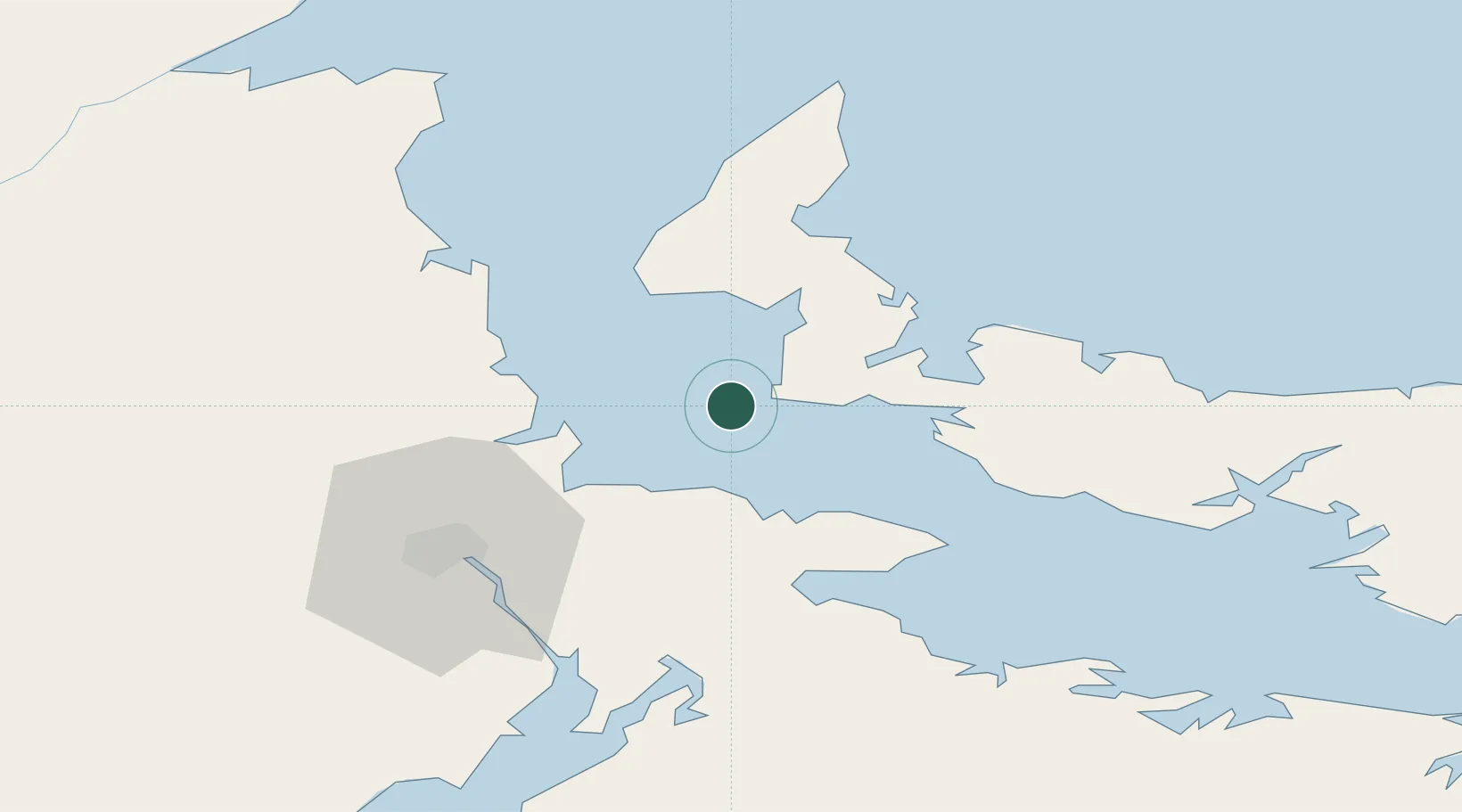
Hub Profile
Place type
Populated place
Region
Prince Edward Island
Population
876
Time zone
America/Halifax
Elevation
35 m
Location
Nearby Logistics Neighbours
Cities
- 1Shemogue28 km
- 2Grande-Digue29 km
- 3Little Shemogue35 km
- 4Bouctouche39 km
- 5Port Elgin42 km
Ports
- 1Summerside33 km
- 2Charlottetown85 km
- 3Georgetown132 km
- 4Pictou142 km
- 5Shippegan155 km
Airports
Trade Zones
- 1Saint John190 km
- 2Halifax Gateway201 km
- 3Cape Breton Regional Municipality Foreign Trade Zone268 km
- 4FTZ No. 179 Madawaska329 km
- 5FTZ No. 058 Bangor399 km
DatabookThe Record of Consolidated Knowledge
Canada beyond logistics?