Medium airport · Canada

Charlottetown AirportCYYG
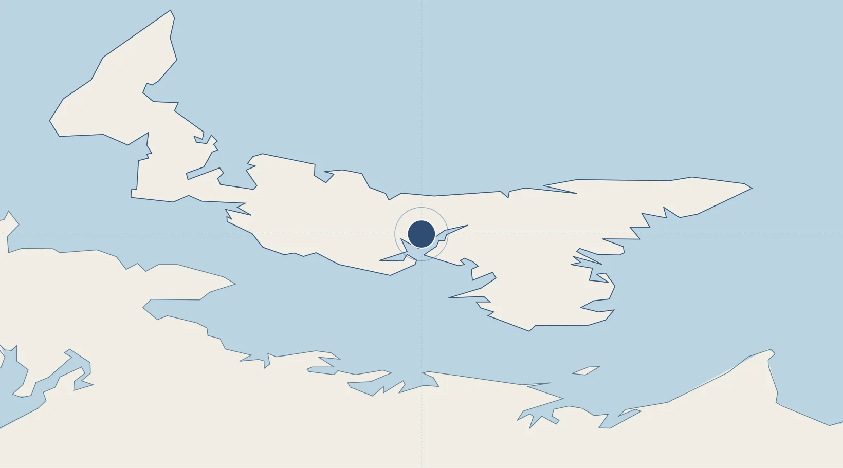
46.2889°, -63.1252°
7,002 ft
Longest runway
2
Runways
160 ft
Elevation

Runway & Layout

Charlottetown Airport runway & taxiway layout
Runway & taxiway layout — OpenStreetMap (ODbL) / OurAirports

Radio Frequencies

A/G
118 MHz
MF
CNTR
135.65 MHz
MONCTON CNTR
RDO
118 MHz
OurAirports

Navaids

YG NDB Charlottetown 347 kHz
YYG VOR-DME Charlottetown 113.80 MHz
ZYG NDB Cavendish 400 kHz
OurAirports

Runways · 2

RunwayDimensions SurfaceTrue headingLit
03/21 7,002 × 150ft Asphalt 009°
10/28 7,000 × 150ft Asphalt 079°
OurAirports

Airport Specifications

IATA code
YYG
OurAirports
ICAO code
CYYG
OurAirports
Airport class
Medium airport
OurAirports
Scheduled service
Yes
OurAirports
Runway surface
Asphalt
OurAirports
Served city
Charlottetown
OurAirports

Location

Location of CYYG
Natural Earth 10m (public domain) · Prince Edward Island · CYYG · 46.29, -63.13GoogleOSMYandex

Nearby Logistics Neighbours

Airports
  1. 1Fox Harbour Airport53 km
  2. 2Summerside Airport57 km
  3. 3Greater Moncton Roméo LeBlanc International Airport121 km
  4. 4Port Hawkesbury Airport153 km
  5. 5Halifax / Stanfield International Airport159 km
Nearest neighbours — logibook spatial index (haversine) over the source coordinates
Cities
  1. 1York4 km
  2. 2Charlottetown6 km
  3. 3Vernon Bridge22 km
  4. 4Breadalbane30 km
  5. 5Morell35 km
Nearest neighbours — logibook spatial index (haversine) over the source coordinates
Ports
  1. 1Charlottetown6 km
  2. 2Georgetown47 km
  3. 3Summerside52 km
  4. 4Pictou76 km
  5. 5Port Hastings151 km
Nearest neighbours — logibook spatial index (haversine) over the source coordinates
Trade Zones
  1. 1Cape Breton Regional Municipality Foreign Trade Zone183 km
  2. 2Halifax Gateway186 km
  3. 3Saint John255 km
  4. 4FTZ No. 179 Madawaska412 km
  5. 5FTZ No. 058 Bangor473 km
Nearest neighbours — logibook spatial index (haversine) over the source coordinates
DatabookThe Record of Consolidated Knowledge
Canada beyond logistics?
Browse databook

All Sources

AirportsOurAirports
Public domain
Portsthe NGA World Port Index
Public domain (US gov)
LocationsUN/LOCODE
UN/LOCODE — free
Trade Zonesthe World Bank SEZ database
CC BY 4.0
Trade ZonesOpen Zone Map
CC BY
InfrastructureOpenStreetMap
ODbL 1.0
← Canada airports