UN/LOCODE hub · Canada
CALSO

Little Shemogue

46.1167°, -64.0167°
2
Transport functions

Transport Functions

Road
Multimodal
UN/LOCODE

Hub Profile

Place type
Populated place
GeoNames
Region
New Brunswick
GeoNames
Time zone
America/Moncton
GeoNames
Elevation
36 m
GeoNames

Location

Location of CALSO
Natural Earth 10m (public domain) · New Brunswick · CALSO · 46.12, -64.02GoogleOSMYandex

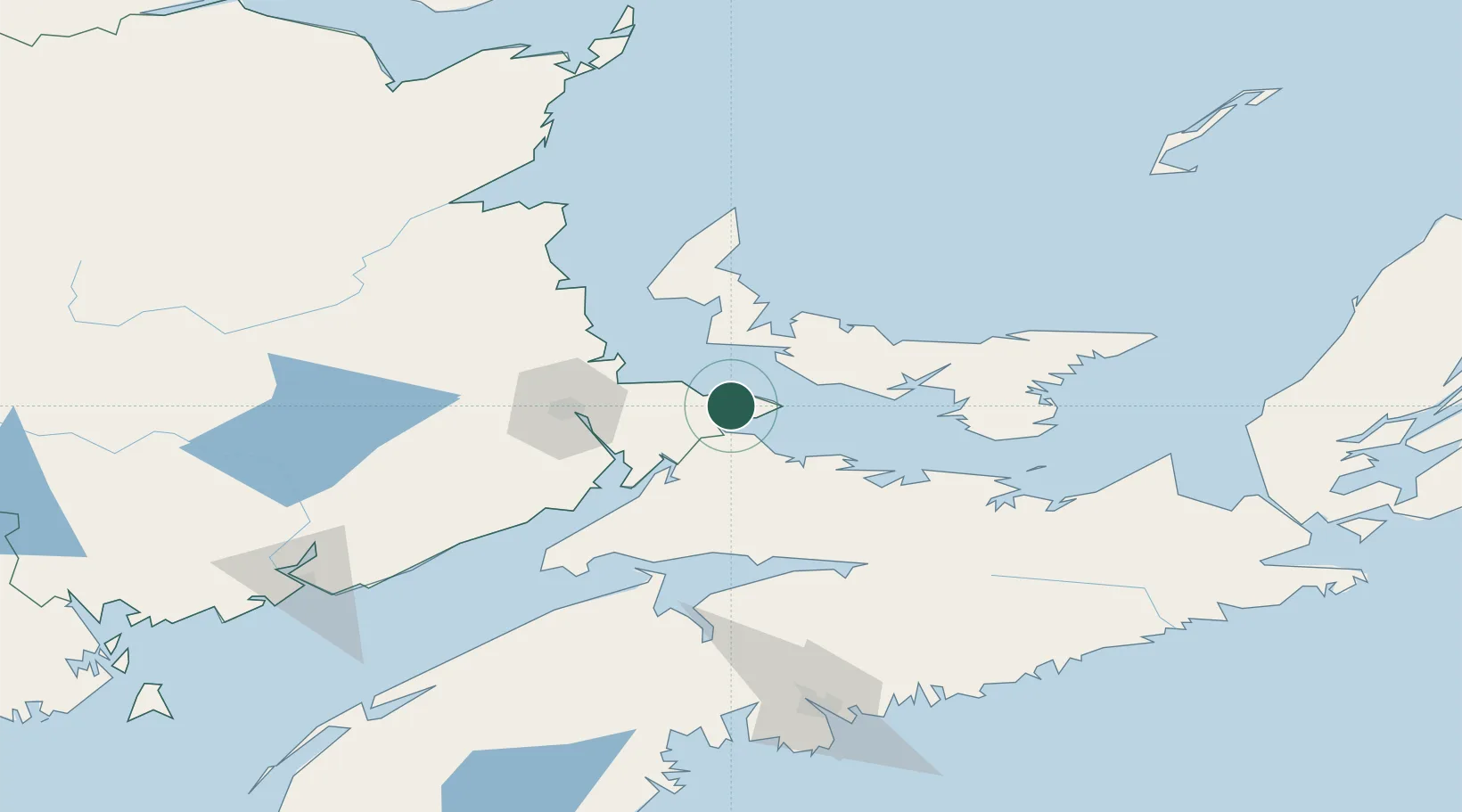
Nearby Logistics Neighbours

Cities
  1. 1Port Elgin11 km
  2. 2Shemogue13 km
  3. 3Borden29 km
  4. 4Prince Edward Island30 km
  5. 5O'Leary35 km
Nearest neighbours — logibook spatial index (haversine) over the source coordinates
Ports
  1. 1Summerside36 km
  2. 2Charlottetown69 km
  3. 3Pictou112 km
  4. 4Georgetown115 km
  5. 5Windsor125 km
Nearest neighbours — logibook spatial index (haversine) over the source coordinates
Airports
  1. 1Summerside Airport39 km
  2. 2Greater Moncton Roméo LeBlanc International Airport51 km
  3. 3Fox Harbour Airport51 km
  4. 4Charlottetown Airport71 km
  5. 5Halifax / Stanfield International Airport143 km
Nearest neighbours — logibook spatial index (haversine) over the source coordinates
Trade Zones
  1. 1Halifax Gateway167 km
  2. 2Saint John185 km
  3. 3Cape Breton Regional Municipality Foreign Trade Zone252 km
  4. 4FTZ No. 179 Madawaska354 km
  5. 5FTZ No. 058 Bangor402 km
Nearest neighbours — logibook spatial index (haversine) over the source coordinates
DatabookThe Record of Consolidated Knowledge
Canada beyond logistics?
Browse databook

All Sources

LocationsUN/LOCODE
UN/LOCODE — free
Portsthe NGA World Port Index
Public domain (US gov)
AirportsOurAirports
Public domain
Trade Zonesthe World Bank SEZ database
CC BY 4.0
Trade ZonesOpen Zone Map
CC BY
← Canada locations