Transport Functions
Port
Road
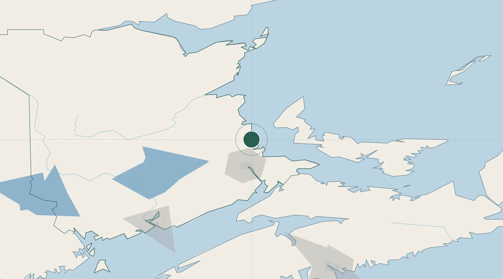
Hub Profile
Place type
Populated place
Region
New Brunswick
Population
2,361
Time zone
America/Moncton
Elevation
27 m
Location
Nearby Logistics Neighbours
Cities
- 1Grande-Digue24 km
- 2O'Leary39 km
- 3Moncton46 km
- 4Shemogue54 km
- 5Little Shemogue66 km
Ports
- 1Summerside72 km
- 2Charlottetown124 km
- 3Shippegan143 km
- 4Caraquet149 km
- 5St John169 km
Airports
- 1Greater Moncton Roméo LeBlanc International Airport39 km
- 2Summerside Airport68 km
- 3Miramichi Airport82 km
- 4Fox Harbour Airport117 km
- 5Charlottetown Airport124 km
Trade Zones
- 1Saint John169 km
- 2Halifax Gateway220 km
- 3FTZ No. 179 Madawaska290 km
- 4Cape Breton Regional Municipality Foreign Trade Zone306 km
- 5FTZ No. 058 Bangor368 km
DatabookThe Record of Consolidated Knowledge
Canada beyond logistics?