Transport Functions
Port
Road
Hub Profile
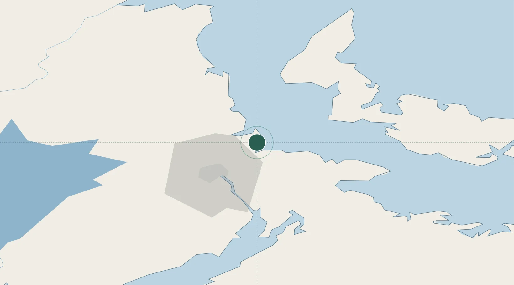
Place type
Populated place
Region
New Brunswick
Population
2,261
Time zone
America/Moncton
Elevation
21 m
Location
Nearby Logistics Neighbours
Cities
- 1Bouctouche24 km
- 2O'Leary29 km
- 3Shemogue32 km
- 4Moncton34 km
- 5Little Shemogue45 km
Ports
- 1Summerside60 km
- 2Charlottetown109 km
- 3Windsor146 km
- 4Georgetown156 km
- 5Pictou157 km
Airports
- 1Greater Moncton Roméo LeBlanc International Airport21 km
- 2Summerside Airport58 km
- 3Fox Harbour Airport96 km
- 4Miramichi Airport106 km
- 5Charlottetown Airport110 km
Trade Zones
- 1Saint John163 km
- 2Halifax Gateway197 km
- 3Cape Breton Regional Municipality Foreign Trade Zone293 km
- 4FTZ No. 179 Madawaska309 km
- 5FTZ No. 058 Bangor371 km
DatabookThe Record of Consolidated Knowledge
Canada beyond logistics?