Transport Functions
Port
Airport
Hub Profile
Place type
Populated place
Region
Ontario
Population
213,759
Time zone
America/Toronto
Elevation
99 m
Logistics facilities
1
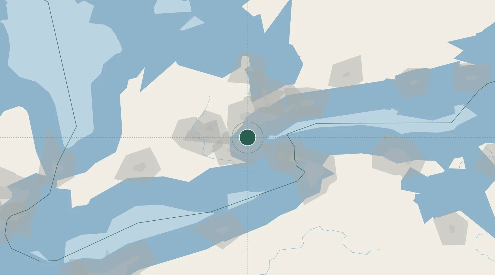
Location
Nearby Logistics Neighbours
Cities
- 1Burlington14 km
- 2Streetsville18 km
- 3Norval27 km
- 4Halton Hills29 km
- 5Grimsby29 km
Ports
- 1Oakville5 km
- 2Clarkson14 km
- 3Port Credit19 km
- 4Hamilton21 km
- 5Toronto36 km
Airports
Trade Zones
- 1FTZ No. 034 Niagara County51 km
- 2Niagara Foreign Trade Zone66 km
- 3FTZ No. 023 Buffalo92 km
- 4FTZ No. 141 Monroe County143 km
- 5FTZ No. 247 Erie148 km
DatabookThe Record of Consolidated Knowledge
Canada beyond logistics?