UN/LOCODE hub · Canada
CANVA

Norval

43.6333°, -79.8667°
2
Transport functions

Transport Functions

Rail
Road
UN/LOCODE

Hub Profile

Place type
Populated place
GeoNames
Region
Ontario
GeoNames
Time zone
America/Toronto
GeoNames
Elevation
203 m
GeoNames

Location

Location of CANVA
Natural Earth 10m (public domain) · Ontario · CANVA · 43.63, -79.87GoogleOSMYandex

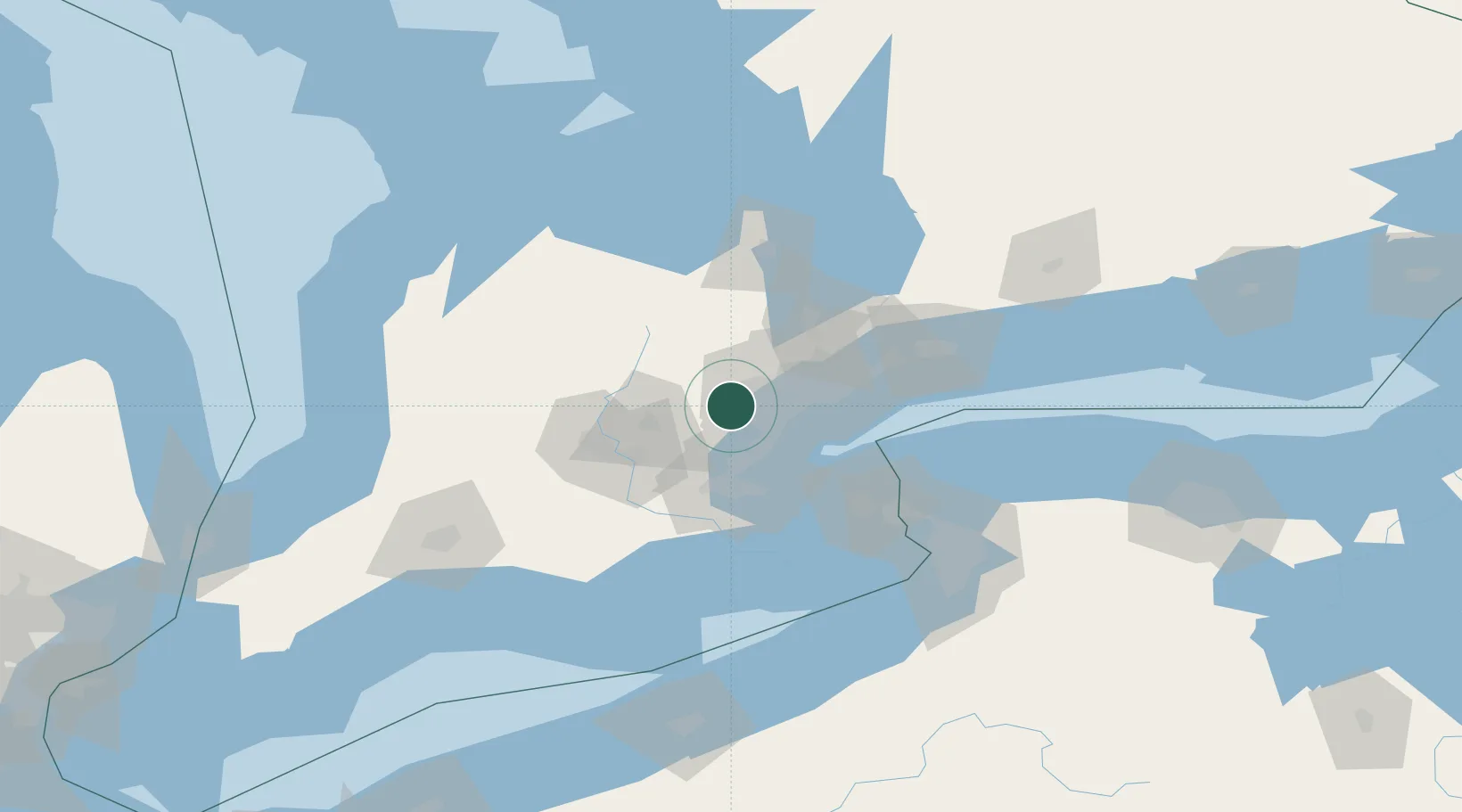
Nearby Logistics Neighbours

Cities
  1. 1Georgetown4 km
  2. 2Halton Hills7 km
  3. 3Limehouse9 km
  4. 4Streetsville13 km
  5. 5Bramalea15 km
Nearest neighbours — logibook spatial index (haversine) over the source coordinates
Ports
  1. 1Port Credit25 km
  2. 2Clarkson26 km
  3. 3Oakville28 km
  4. 4Toronto39 km
  5. 5Hamilton43 km
Nearest neighbours — logibook spatial index (haversine) over the source coordinates
Airports
  1. 1Brampton-Caledon Airport14 km
  2. 2Toronto Pearson International Airport20 km
  3. 3Billy Bishop Toronto City Airport38 km
  4. 4Region of Waterloo International Airport46 km
  5. 5John C. Munro Hamilton International Airport51 km
Nearest neighbours — logibook spatial index (haversine) over the source coordinates
Trade Zones
  1. 1FTZ No. 034 Niagara County70 km
  2. 2Niagara Foreign Trade Zone90 km
  3. 3FTZ No. 023 Buffalo116 km
  4. 4FTZ No. 141 Monroe County158 km
  5. 5FTZ No. 247 Erie170 km
Nearest neighbours — logibook spatial index (haversine) over the source coordinates
DatabookThe Record of Consolidated Knowledge
Canada beyond logistics?
Browse databook

All Sources

LocationsUN/LOCODE
UN/LOCODE — free
Portsthe NGA World Port Index
Public domain (US gov)
AirportsOurAirports
Public domain
Trade Zonesthe World Bank SEZ database
CC BY 4.0
Trade ZonesOpen Zone Map
CC BY
← Canada locations