Transport Functions
Rail
Road
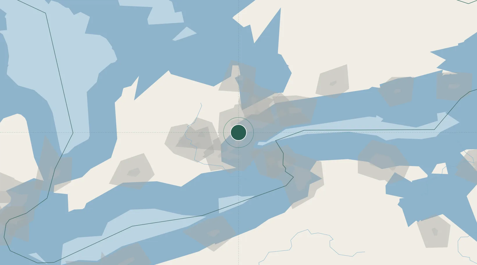
Hub Profile
Place type
Populated place
Region
Ontario
Time zone
America/Toronto
Elevation
157 m
Location
Nearby Logistics Neighbours
Cities
- 1Norval13 km
- 2Toronto13 km
- 3Pearson International Apt/Toronto15 km
- 4Bramalea15 km
- 5Georgetown18 km
Ports
- 1Port Credit11 km
- 2Clarkson13 km
- 3Oakville17 km
- 4Toronto27 km
- 5Hamilton39 km
Airports
Trade Zones
- 1FTZ No. 034 Niagara County57 km
- 2Niagara Foreign Trade Zone77 km
- 3FTZ No. 023 Buffalo104 km
- 4FTZ No. 141 Monroe County145 km
- 5FTZ No. 247 Erie166 km
DatabookThe Record of Consolidated Knowledge
Canada beyond logistics?