Transport Functions
Rail
Road
Airport
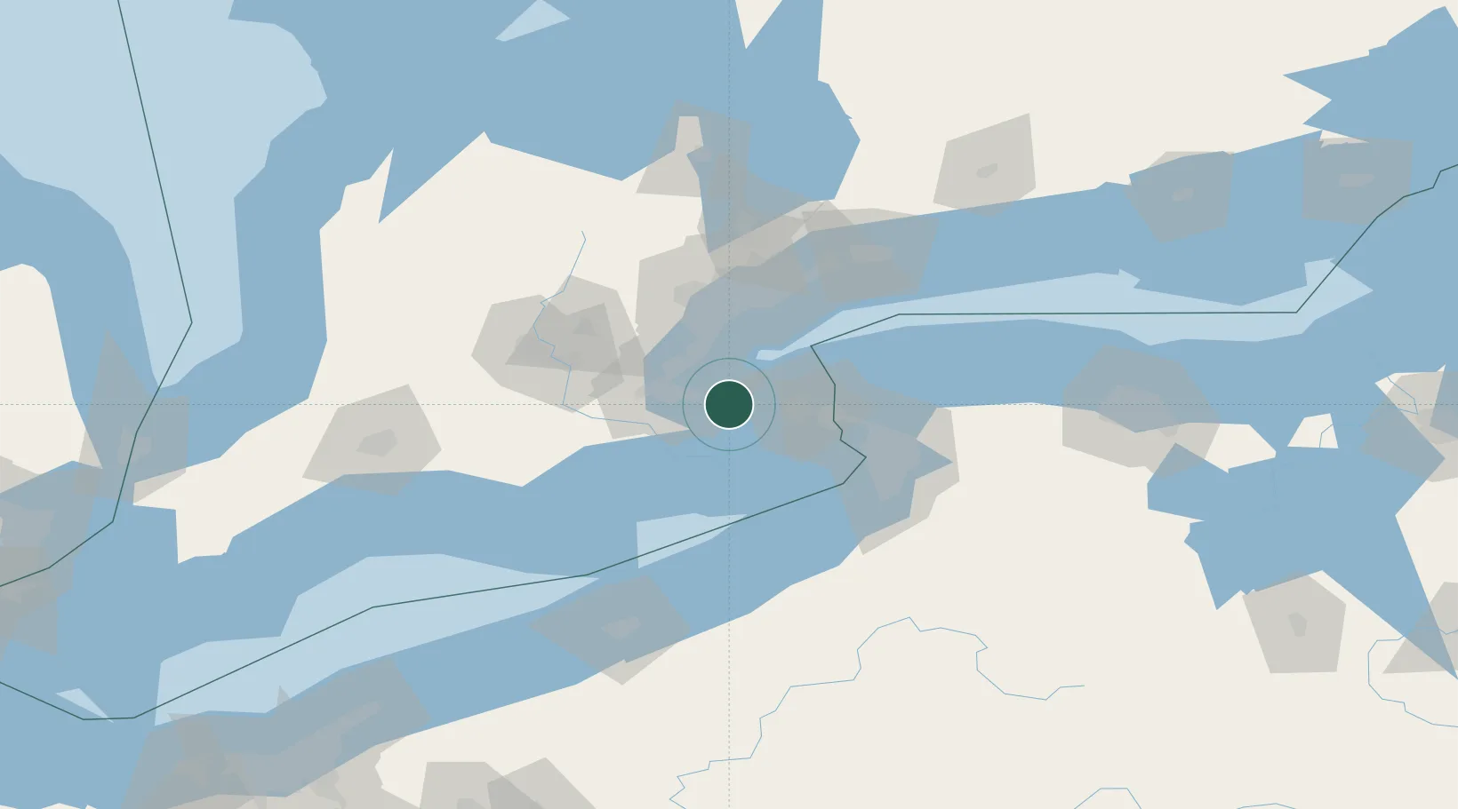
Hub Profile
Place type
Populated place
Region
Ontario
Population
27,314
Time zone
America/Toronto
Elevation
88 m
Location
Nearby Logistics Neighbours
Cities
- 1Caistor Centre12 km
- 2Burlington27 km
- 3Saint-Catharines27 km
- 4Port Weller29 km
- 5Oakville29 km
Ports
- 1Thorold17 km
- 2St Catherine23 km
- 3Hamilton24 km
- 4Port Weller29 km
- 5Oakville29 km
Airports
Trade Zones
- 1FTZ No. 034 Niagara County40 km
- 2Niagara Foreign Trade Zone43 km
- 3FTZ No. 023 Buffalo66 km
- 4FTZ No. 247 Erie127 km
- 5FTZ No. 141 Monroe County130 km
DatabookThe Record of Consolidated Knowledge
Canada beyond logistics?