Medium airport · Canada

Brampton-Caledon AirportCNC3
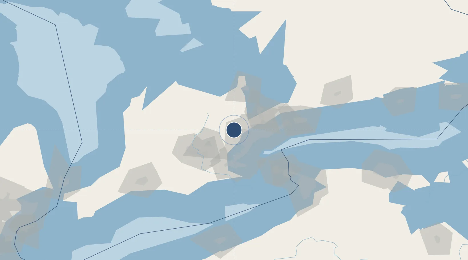
43.7603°, -79.8750°
3,500 ft
Longest runway
2
Runways
935 ft
Elevation

Runway & Layout

Brampton-Caledon Airport runway & taxiway layout
Runway & taxiway layout — OpenStreetMap (ODbL) / OurAirports

Radio Frequencies

A/D
119.3 MHz
TORONTO TRML
UNIC
123.3 MHz
ATF/UNICOM
OurAirports

Runways · 2

RunwayDimensions SurfaceTrue headingLit
15/33 3,500 × 75ft Composite 141°
08/26 2,500 × 75ft Asphalt 071°
OurAirports

Airport Specifications

ICAO code
CNC3
OurAirports
Airport class
Medium airport
OurAirports
Scheduled service
No
OurAirports
Runway surface
Composite
OurAirports

Location

Location of CNC3
Natural Earth 10m (public domain) · Ontario · CNC3 · 43.76, -79.88GoogleOSMYandex

Nearby Logistics Neighbours

Airports
  1. 1Toronto Pearson International Airport22 km
  2. 2Billy Bishop Toronto City Airport41 km
  3. 3Region of Waterloo International Airport53 km
  4. 4John C. Munro Hamilton International Airport65 km
  5. 5Brantford Municipal Airport80 km
Nearest neighbours — logibook spatial index (haversine) over the source coordinates
Cities
  1. 1Belfountain11 km
  2. 2Georgetown13 km
  3. 3Bramalea14 km
  4. 4Norval14 km
  5. 5Limehouse17 km
Nearest neighbours — logibook spatial index (haversine) over the source coordinates
Ports
  1. 1Port Credit33 km
  2. 2Clarkson36 km
  3. 3Oakville40 km
  4. 4Toronto43 km
  5. 5Hamilton57 km
Nearest neighbours — logibook spatial index (haversine) over the source coordinates
Trade Zones
  1. 1FTZ No. 034 Niagara County78 km
  2. 2Niagara Foreign Trade Zone100 km
  3. 3FTZ No. 023 Buffalo127 km
  4. 4FTZ No. 141 Monroe County163 km
  5. 5FTZ No. 247 Erie184 km
Nearest neighbours — logibook spatial index (haversine) over the source coordinates
DatabookThe Record of Consolidated Knowledge
Canada beyond logistics?
Browse databook

All Sources

AirportsOurAirports
Public domain
Portsthe NGA World Port Index
Public domain (US gov)
LocationsUN/LOCODE
UN/LOCODE — free
Trade Zonesthe World Bank SEZ database
CC BY 4.0
Trade ZonesOpen Zone Map
CC BY
InfrastructureOpenStreetMap
ODbL 1.0
← Canada airports