Medium airport · Canada
Billy Bishop Toronto City AirportCYTZ
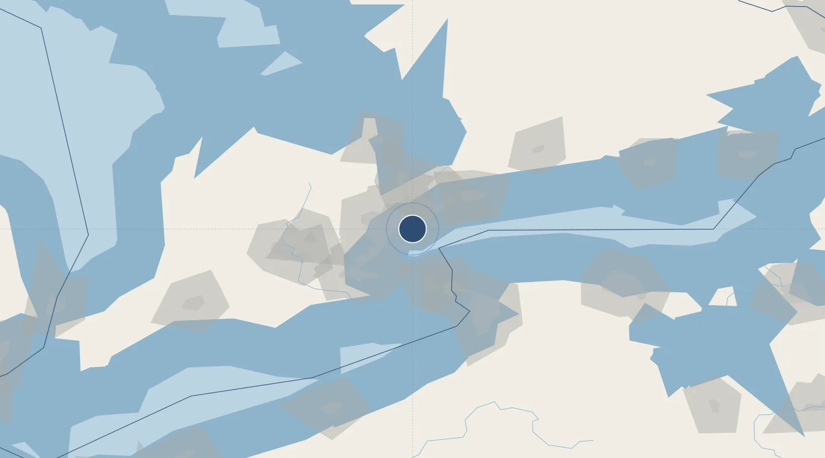
43.6279°, -79.3955°
3,988 ft
Longest runway
2
Runways
252 ft
Elevation
Runway & Layout

Radio Frequencies
ATIS
133.6 MHz
(1130-0400Z)
AWOS
133.6 MHz
0400-1130Z
TWR
118.2 MHz
GND
121.7 MHz
DEP
133.4 MHz
TRML DEP
ARR
133.4 MHz
TRML APP
ATF
118.2 MHz
Navaids
ITZ DME City Centre 110.15 MHz
TZ NDB Gibraltar Point 257 kHz
Runways · 2
| Runway | Dimensions | Surface | True heading | Lit |
|---|---|---|---|---|
| 08/26 | 3,988 × 150ft | Asphalt | 069° | ✓ |
| 06/24 | 2,933 × 150ft | Asphalt | 048° | — |
Airport Specifications
IATA code
YTZ
ICAO code
CYTZ
Airport class
Medium airport
Scheduled service
Yes
Runway surface
Asphalt
Served city
Toronto
Location
Nearby Logistics Neighbours
Airports
Cities
- 1York9 km
- 2Weston12 km
- 3Toronto20 km
- 4Pearson International Apt/Toronto21 km
- 5Vaughan23 km
Ports
- 1Toronto2 km
- 2Port Credit17 km
- 3Clarkson22 km
- 4Oakville31 km
- 5Port Whitby45 km
Trade Zones
- 1FTZ No. 034 Niagara County41 km
- 2Niagara Foreign Trade Zone66 km
- 3FTZ No. 023 Buffalo94 km
- 4FTZ No. 141 Monroe County122 km
- 5FTZ No. 289 Ontario County174 km
DatabookThe Record of Consolidated Knowledge
Canada beyond logistics?