Transport Functions
Port
Road
Hub Profile
Place type
Populated place
Region
Ontario
Population
186,948
Time zone
America/Toronto
Elevation
165 m
Logistics facilities
1
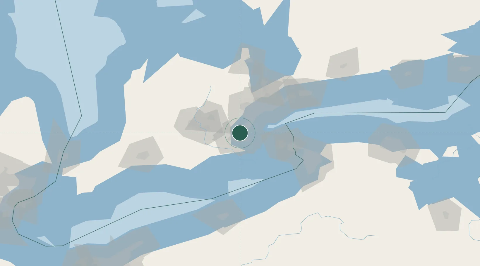
Location
Nearby Logistics Neighbours
Cities
- 1Oakville14 km
- 2Grimsby27 km
- 3Streetsville30 km
- 4Caistor Centre32 km
- 5Halton Hills34 km
Ports
- 1Hamilton9 km
- 2Oakville18 km
- 3Clarkson27 km
- 4Thorold29 km
- 5Port Credit32 km
Airports
Trade Zones
- 1FTZ No. 034 Niagara County59 km
- 2Niagara Foreign Trade Zone69 km
- 3FTZ No. 023 Buffalo93 km
- 4FTZ No. 247 Erie136 km
- 5FTZ No. 141 Monroe County152 km
DatabookThe Record of Consolidated Knowledge
Canada beyond logistics?