Transport Functions
Port
Multimodal
Hub Profile
Place type
Populated place
Region
Ontario
Population
62,951
Time zone
America/Toronto
Elevation
262 m
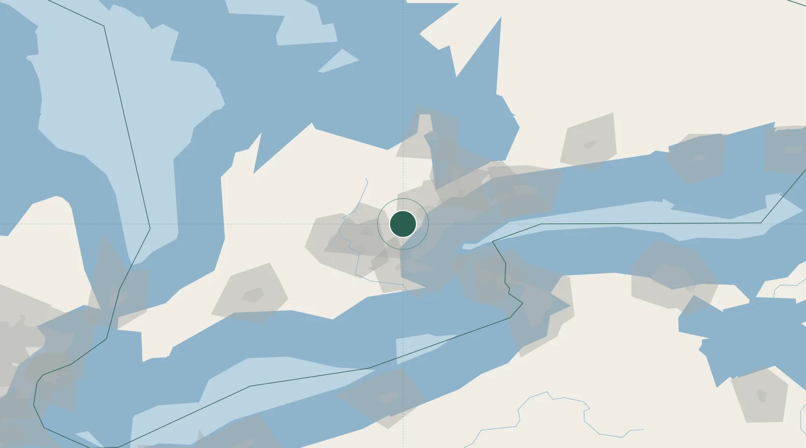
Location
Nearby Logistics Neighbours
Cities
- 1Limehouse3 km
- 2Georgetown5 km
- 3Norval7 km
- 4Rockwood15 km
- 5Streetsville19 km
Ports
- 1Port Credit30 km
- 2Oakville31 km
- 3Clarkson31 km
- 4Hamilton42 km
- 5Toronto46 km
Airports
Trade Zones
- 1FTZ No. 034 Niagara County75 km
- 2Niagara Foreign Trade Zone93 km
- 3FTZ No. 023 Buffalo120 km
- 4FTZ No. 141 Monroe County164 km
- 5FTZ No. 247 Erie167 km
DatabookThe Record of Consolidated Knowledge
Canada beyond logistics?