Medium airport · Canada
Niagara District AirportCYSN
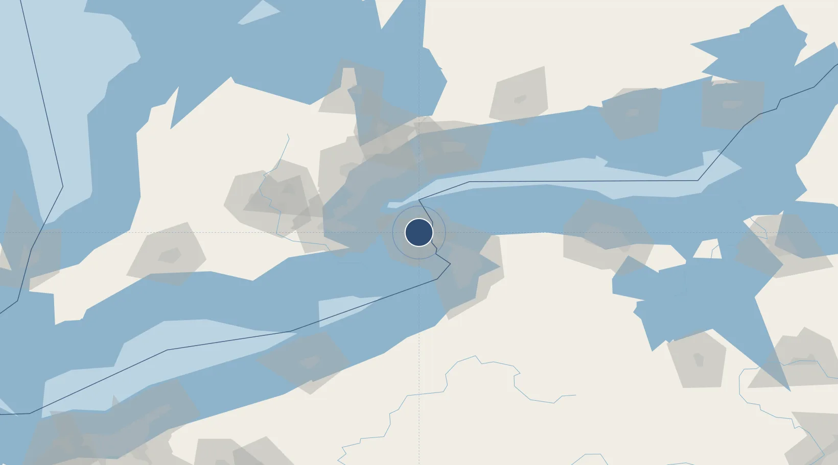
43.1916°, -79.1717°
5,000 ft
Longest runway
3
Runways
321 ft
Elevation
Runway & Layout

Radio Frequencies
ATIS
128.525 MHz
A/D
133.4 MHz
TORONTO TRML
A/G
123.25 MHz
MF
ATF
123.25 MHz
RCO
126.7 MHz
LONDON RDO
RDO
123.25 MHz
Navaids
SN NDB St. Catharines 408 kHz
Runways · 3
| Runway | Dimensions | Surface | True heading | Lit |
|---|---|---|---|---|
| 06/24 | 5,000 × 150ft | Asphalt | 053° | ✓ |
| 01/19 | 2,500 × 75ft | Asphalt | 358° | — |
| 11/29 | 2,000 × 75ft | Asphalt | 096° | — |
Airport Specifications
IATA code
YCM
ICAO code
CYSN
Airport class
Medium airport
Scheduled service
Yes
Runway surface
Asphalt
Served city
Niagara-on-the-Lake
Location
Nearby Logistics Neighbours
Airports
Cities
- 1Port Weller5 km
- 2Saint-Catharines6 km
- 3Niagara-on-the-Lake11 km
- 4Youngstown11 km
- 5Sanborn24 km
Ports
- 1Port Weller6 km
- 2Queenston9 km
- 3St Catherine9 km
- 4Niagara11 km
- 5Youngstown12 km
Trade Zones
- 1Niagara Foreign Trade Zone15 km
- 2FTZ No. 034 Niagara County16 km
- 3FTZ No. 023 Buffalo43 km
- 4FTZ No. 141 Monroe County98 km
- 5FTZ No. 289 Ontario County137 km
DatabookThe Record of Consolidated Knowledge
Canada beyond logistics?