Seaport · Canada

TorontoCATOR

43.6167°, -79.3833°
7.9 m
Channel depth
7.9
Port liner connectivity
Toronto is also a UN/LOCODE logistics hub →

Channel & Berth Profile

SEA LEVEL (CD)CHANNEL BEDChannel · 7.9 mCargo pier · 7.9 mOil terminal · 7.9 mAnchorage · 23.2 m
NGA World Port Index

Pilotage, Tugs & Services

Pilotage compulsoryYES
Tug assistanceYES
Shore powerYES
Potable waterYES
Diesel bunkersYES
MedicalYES
NGA World Port Index

Facilities & Capabilities

Container
Ro-Ro
Liquid bulk
Dry bulk
Oil terminal
Break bulk
Dry dockNO
RepairsNO
BunkeringYES
Rail linkYES
Dangerous cargo
ISPS security
NGA World Port Index

Harbour Specifications

Harbour size
Medium
NGA World Port Index
Harbour type
Coastal (Natural)
NGA World Port Index
Shelter
Excellent
NGA World Port Index
Water body
Lake Ontario; Great Lakes
NGA World Port Index
Overhead limit
Yes
NGA World Port Index
Pilotage
Yes
NGA World Port Index

Liner Connectivity

7.9
PLSCI

Port Liner Shipping Connectivity Index for Toronto, as published by UNCTAD for the latest available quarter. Higher values indicate stronger scheduled liner-shipping integration.

Shown relative to the highest per-port PLSCI in the dataset (1,657.9).
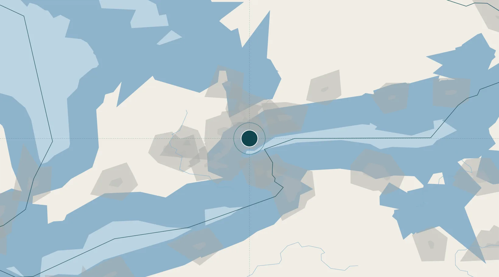
UNCTAD · Port Liner Shipping Connectivity Index

Location

Location of CATOR
Natural Earth 10m (public domain) · Ontario · CATOR · 43.62, -79.38GoogleOSMYandex

Nearby Logistics Neighbours

Ports
  1. 1Port Credit18 km
  2. 2Clarkson22 km
  3. 3Oakville31 km
  4. 4Port Whitby45 km
  5. 5Port Weller45 km
Nearest neighbours — logibook spatial index (haversine) over the source coordinates
Cities
  1. 1York11 km
  2. 2Weston13 km
  3. 3Pearson International Apt/Toronto22 km
  4. 4Vaughan25 km
  5. 5Streetsville27 km
Nearest neighbours — logibook spatial index (haversine) over the source coordinates
Airports
  1. 1Billy Bishop Toronto City Airport2 km
  2. 2Toronto Pearson International Airport21 km
  3. 3Brampton-Caledon Airport43 km
  4. 4Niagara District Airport50 km
  5. 5Oshawa Executive Airport52 km
Nearest neighbours — logibook spatial index (haversine) over the source coordinates
Trade Zones
  1. 1FTZ No. 034 Niagara County39 km
  2. 2Niagara Foreign Trade Zone64 km
  3. 3FTZ No. 023 Buffalo92 km
  4. 4FTZ No. 141 Monroe County120 km
  5. 5FTZ No. 289 Ontario County172 km
Nearest neighbours — logibook spatial index (haversine) over the source coordinates
DatabookThe Record of Consolidated Knowledge
Canada beyond logistics?
Browse databook

All Sources

Portsthe NGA World Port Index
Public domain (US gov)
Logistics performanceUNCTAD
CC BY 3.0 IGO
AirportsOurAirports
Public domain
LocationsUN/LOCODE
UN/LOCODE — free
Trade Zonesthe World Bank SEZ database
CC BY 4.0
Trade ZonesOpen Zone Map
CC BY
← Canada ports