Transport Functions
Rail
Road
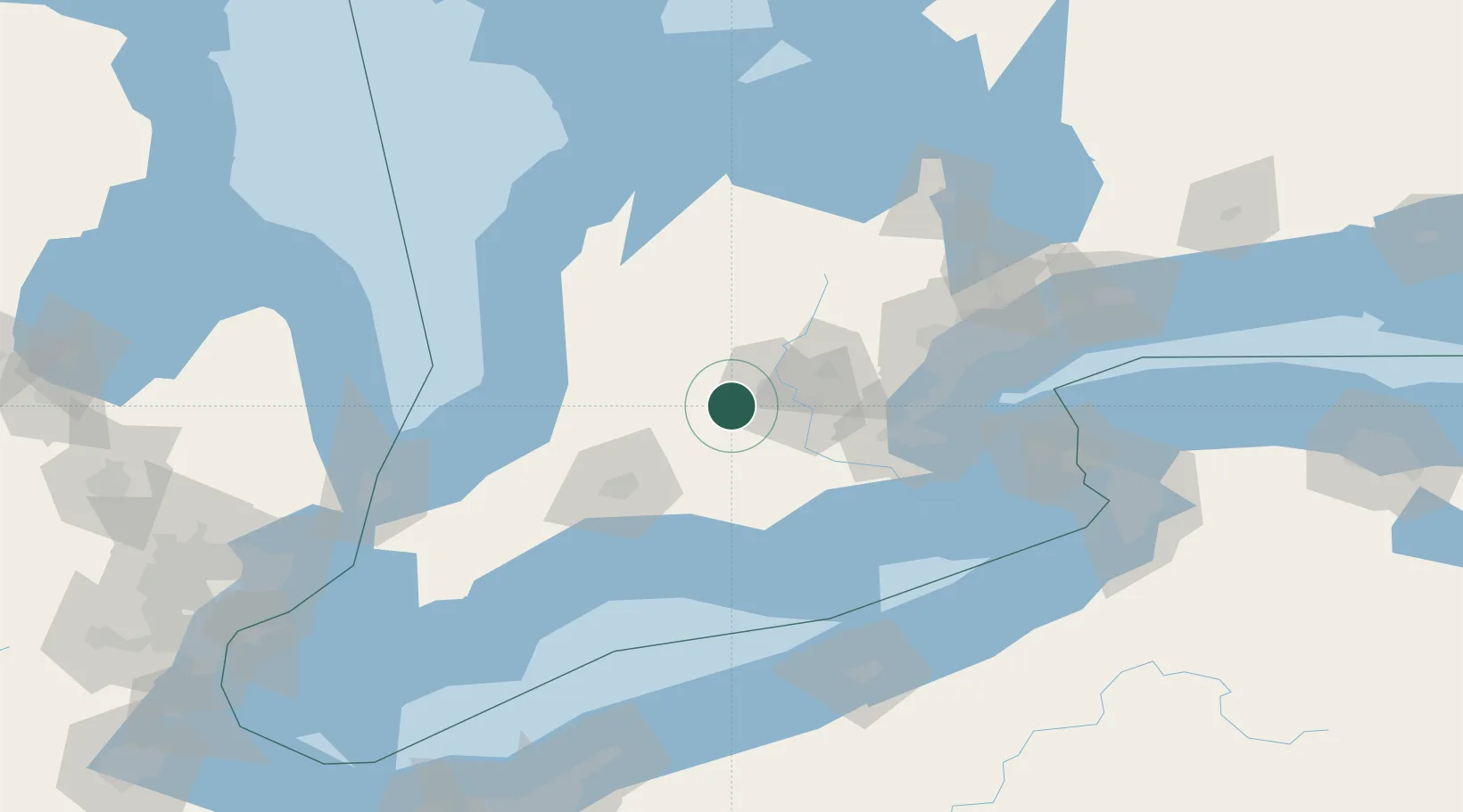
Hub Profile
Place type
Populated place
Region
Ontario
Population
13,595
Time zone
America/Toronto
Elevation
348 m
Location
Nearby Logistics Neighbours
Cities
- 1Innerkip20 km
- 2Millbank23 km
- 3Milverton27 km
- 4Sebringville28 km
- 5Saint-Pauls-Station29 km
Ports
- 1Hamilton72 km
- 2Port Dover79 km
- 3Oakville85 km
- 4Thorold88 km
- 5Port Stanley89 km
Airports
Trade Zones
- 1FTZ No. 034 Niagara County130 km
- 2Niagara Foreign Trade Zone139 km
- 3FTZ No. 247 Erie150 km
- 4FTZ No. 210 St. Clair County159 km
- 5FTZ No. 023 Buffalo160 km
DatabookThe Record of Consolidated Knowledge
Canada beyond logistics?