Transport Functions
Rail
Road
Multimodal
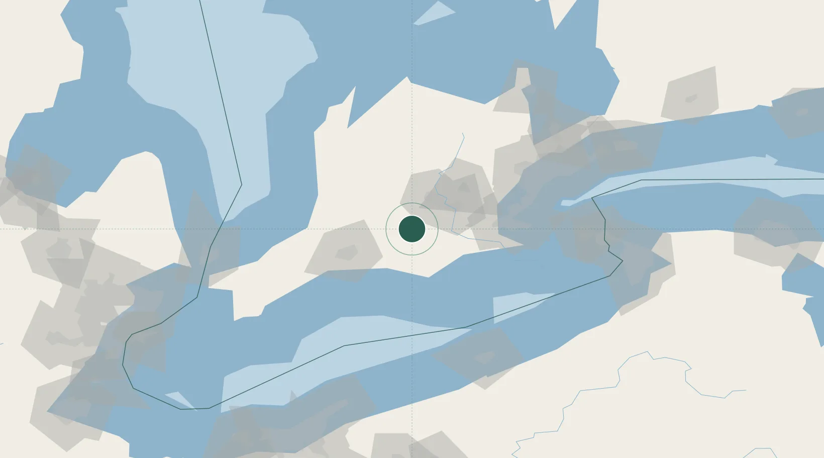
Hub Profile
Region
ON
Location
Nearby Logistics Neighbours
Cities
- 1New Hamburg20 km
- 2Lakeside26 km
- 3Kintore28 km
- 4Thamesford28 km
- 5Brant29 km
Ports
- 1Port Dover62 km
- 2Hamilton69 km
- 3Port Stanley72 km
- 4Thorold81 km
- 5Oakville88 km
Airports
Trade Zones
- 1FTZ No. 034 Niagara County129 km
- 2FTZ No. 247 Erie130 km
- 3Niagara Foreign Trade Zone135 km
- 4FTZ No. 023 Buffalo153 km
- 5FTZ No. 210 St. Clair County154 km
DatabookThe Record of Consolidated Knowledge
Canada beyond logistics?