Transport Functions
Rail
Road
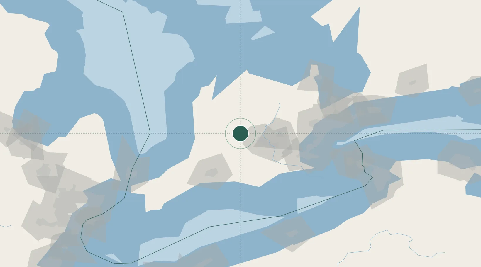
Hub Profile
Place type
Populated place
Region
Ontario
Time zone
America/Toronto
Elevation
376 m
Location
Nearby Logistics Neighbours
Cities
- 1Milverton8 km
- 2Atwood19 km
- 3New Hamburg23 km
- 4Sebringville26 km
- 5Palmerston30 km
Ports
- 1Goderich75 km
- 2Hamilton87 km
- 3Oakville95 km
- 4Clarkson100 km
- 5Port Credit101 km
Airports
Trade Zones
- 1FTZ No. 034 Niagara County142 km
- 2Niagara Foreign Trade Zone154 km
- 3FTZ No. 210 St. Clair County160 km
- 4FTZ No. 247 Erie172 km
- 5FTZ No. 023 Buffalo176 km
DatabookThe Record of Consolidated Knowledge
Canada beyond logistics?