Transport Functions
Port
Multimodal
Hub Profile
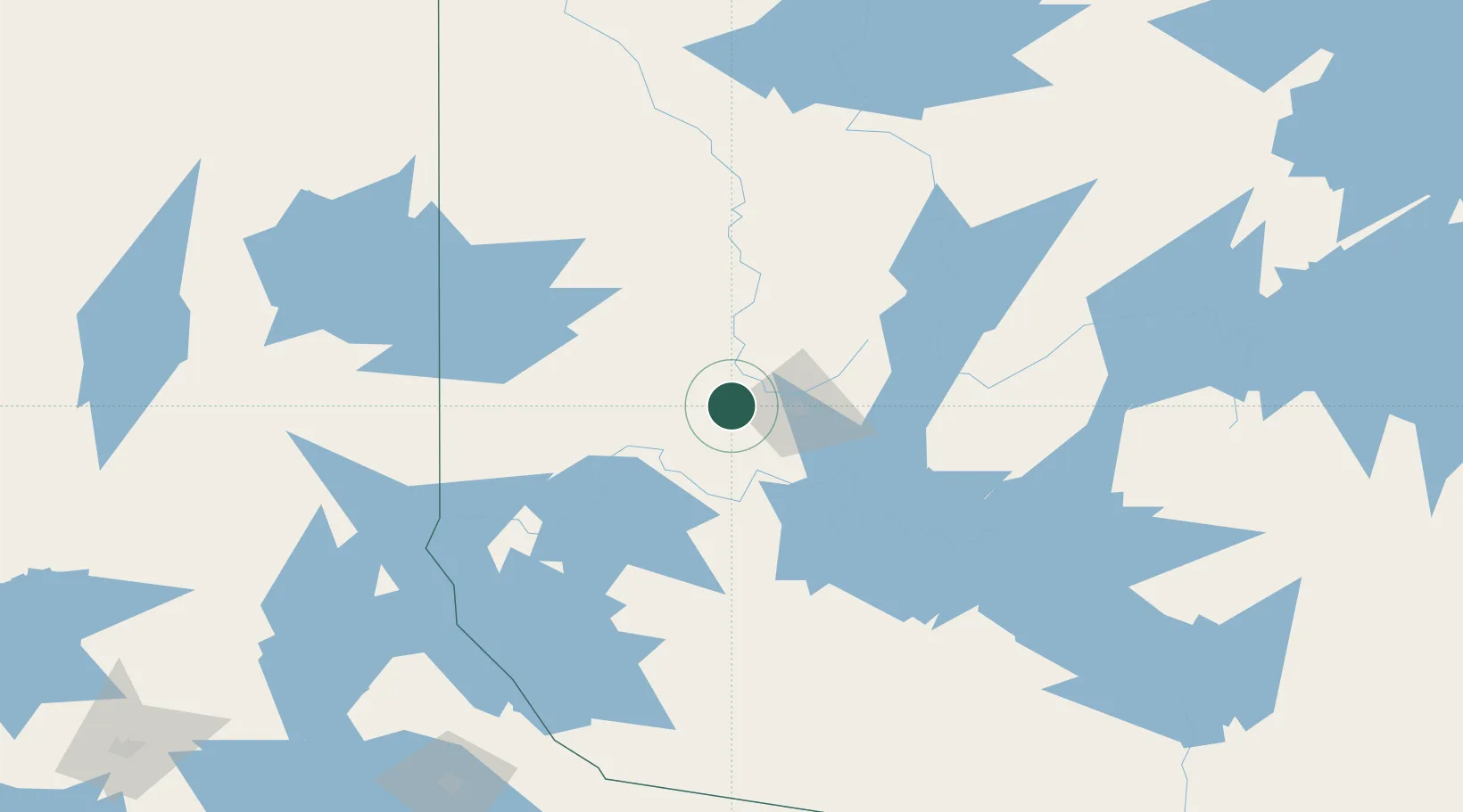
Place type
Populated place
Region
Quebec
Population
3,710
Time zone
America/Toronto
Elevation
318 m
Location
Nearby Logistics Neighbours
Cities
- 1Cadillac22 km
- 2Preissac35 km
- 3Rouyn-Noranda68 km
- 4Senneterre71 km
- 5Laverlochère118 km
Ports
- 1Key Harbour320 km
- 2Byng Inlet322 km
- 3Parry Sound344 km
- 4Gatineau349 km
- 5Hull352 km
Airports
- 1Val-d'Or Airport26 km
- 2Amos/Magny Airport49 km
- 3Rouyn Noranda Airport54 km
- 4Earlton (Timiskaming Regional) Airport138 km
- 5Kirkland Lake Airport139 km
Trade Zones
- 1FTZ No. 118 Ogdensburg430 km
- 2Greater Montreal Free Zone Center453 km
- 3FTZ No. 109 Watertown492 km
- 4FTZ No. 016 Sault Ste. Marie508 km
- 5FTZ No. 090 Onondaga535 km
DatabookThe Record of Consolidated Knowledge
Canada beyond logistics?