Medium airport · Canada
Rouyn Noranda AirportCYUY
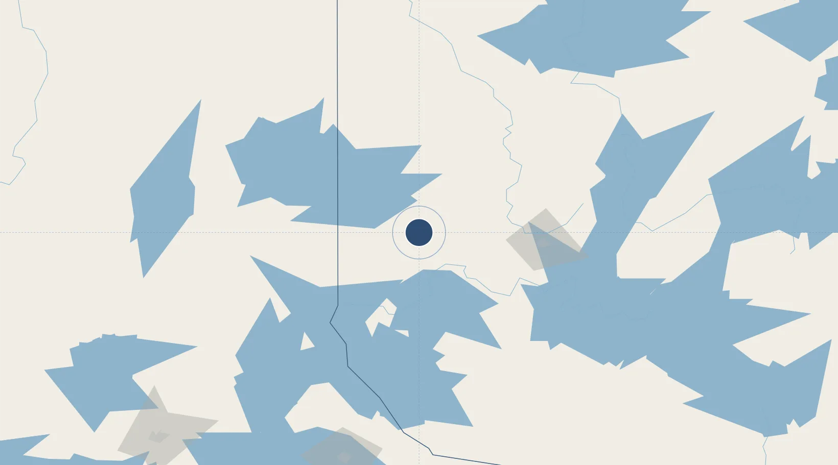
48.2061°, -78.8356°
7,485 ft
Longest runway
1
Runways
988 ft
Elevation
Runway & Layout

Radio Frequencies
A/G
122.2 MHz
MF
CNTR
125.9 MHz
MONTREAL CNTR
RCO
126.7 MHz
QUEBEC RDO
RDO
122.2 MHz
Navaids
IUY DME Rouyn 109.90 MHz
YUY NDB Rouyn 218 kHz
Runways · 1
| Runway | Dimensions | Surface | True heading | Lit |
|---|---|---|---|---|
| 08/26 | 7,485 × 150ft | Asphalt | 062° | ✓ |
Airport Specifications
IATA code
YUY
ICAO code
CYUY
Airport class
Medium airport
Scheduled service
Yes
Runway surface
Asphalt
Served city
Rouyn-Noranda
Location
Nearby Logistics Neighbours
Airports
- 1Amos/Magny Airport59 km
- 2Val-d'Or Airport80 km
- 3Kirkland Lake Airport85 km
- 4Earlton (Timiskaming Regional) Airport94 km
- 5Cochrane Airport189 km
Cities
- 1Rouyn-Noranda14 km
- 2Cadillac34 km
- 3Preissac41 km
- 4Malartic54 km
- 5Laverlochère94 km
Ports
- 1Key Harbour296 km
- 2Byng Inlet301 km
- 3Killarney321 km
- 4Parry Sound332 km
- 5Little Current341 km
Trade Zones
- 1FTZ No. 016 Sault Ste. Marie461 km
- 2FTZ No. 118 Ogdensburg465 km
- 3Greater Montreal Free Zone Center501 km
- 4FTZ No. 109 Watertown521 km
- 5FTZ No. 034 Niagara County543 km
DatabookThe Record of Consolidated Knowledge
Canada beyond logistics?