Medium airport · Canada
Earlton (Timiskaming Regional) AirportCYXR
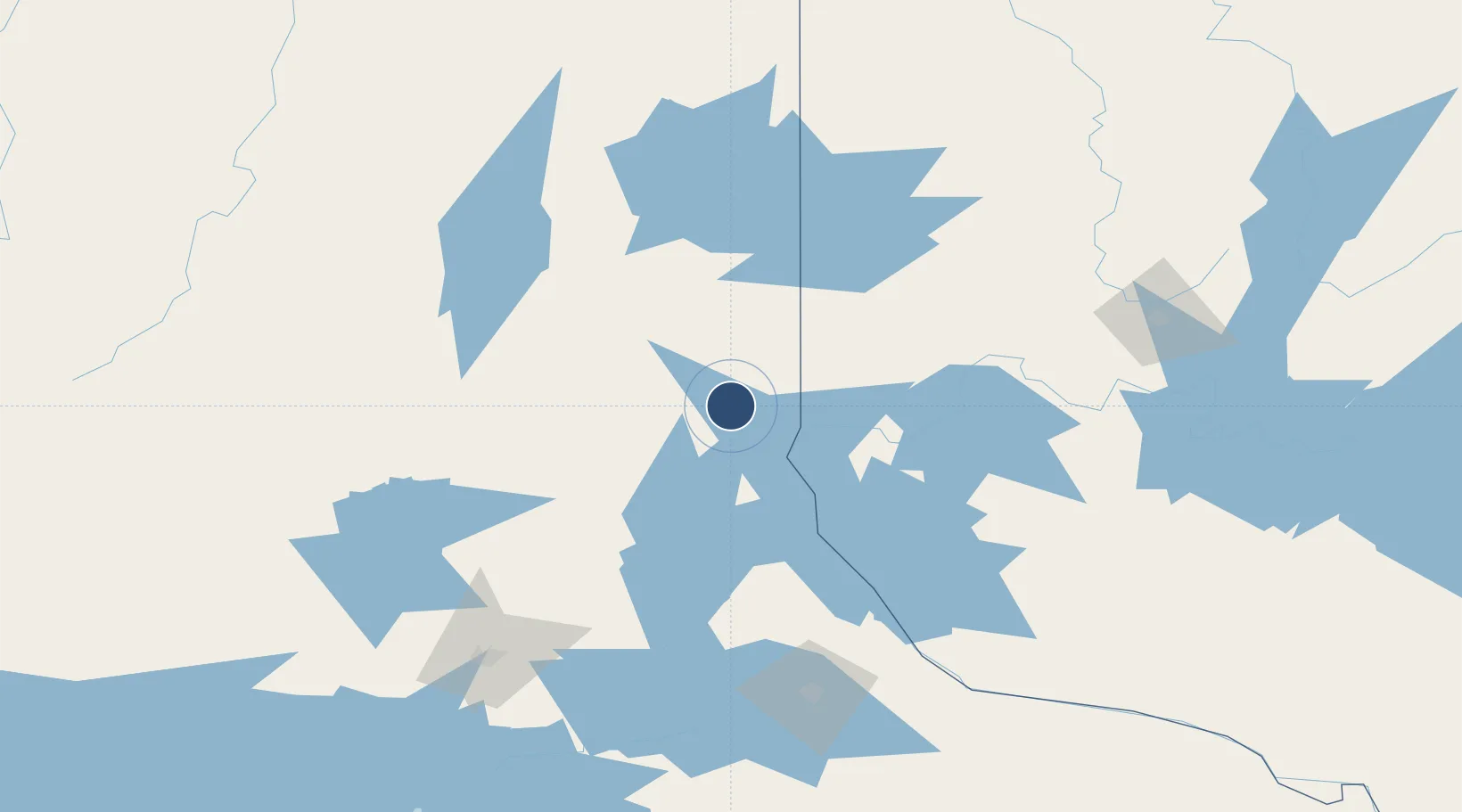
47.6974°, -79.8473°
5,998 ft
Longest runway
2
Runways
800 ft
Elevation
Runway & Layout

Radio Frequencies
AWOS
128.6 MHz
MF
122 MHz
Earlton Traffic
RDO
123.375 MHz
LONDON RDO
Runways · 2
| Runway | Dimensions | Surface | True heading | Lit |
|---|---|---|---|---|
| 08/26 | 5,998 × 150ft | Asphalt | 063° | ✓ |
| 16/34 | 3,019 × 150ft | Gravel | 149° | ✓ |
Airport Specifications
IATA code
YXR
ICAO code
CYXR
Airport class
Medium airport
Scheduled service
No
Runway surface
Asphalt
Served city
Earlton
Location
Nearby Logistics Neighbours
Airports
- 1Kirkland Lake Airport58 km
- 2Rouyn Noranda Airport94 km
- 3Sudbury Airport139 km
- 4Timmins/Victor M. Power149 km
- 5North Bay Jack Garland Airport152 km
Cities
- 1New Liskeard26 km
- 2Latchford41 km
- 3Laverlochère53 km
- 4Temagami70 km
- 5Rouyn-Noranda86 km
Ports
- 1Key Harbour213 km
- 2Byng Inlet222 km
- 3Killarney231 km
- 4Little Current248 km
- 5Manitowaning263 km
Trade Zones
- 1FTZ No. 118 Ogdensburg471 km
- 2FTZ No. 034 Niagara County489 km
- 3FTZ No. 141 Monroe County512 km
- 4FTZ No. 109 Watertown514 km
- 5Niagara Foreign Trade Zone516 km
DatabookThe Record of Consolidated Knowledge
Canada beyond logistics?