Transport Functions
Rail
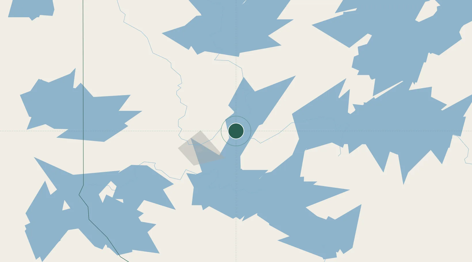
Hub Profile
Place type
Populated place
Region
Quebec
Population
2,239
Time zone
America/Toronto
Elevation
314 m
Location
Nearby Logistics Neighbours
Cities
- 1Malartic71 km
- 2Preissac82 km
- 3Cadillac86 km
- 4Rouyn-Noranda132 km
- 5Laverlochère187 km
Ports
- 1Gatineau346 km
- 2Thurso347 km
- 3Masson348 km
- 4Rockland350 km
- 5Cumberland350 km
Airports
- 1Val-d'Or Airport55 km
- 2Amos/Magny Airport76 km
- 3Rouyn Noranda Airport119 km
- 4Matagami Airport157 km
- 5Kirkland Lake Airport203 km
Trade Zones
- 1Greater Montreal Free Zone Center426 km
- 2FTZ No. 118 Ogdensburg431 km
- 3Québec City FTZ482 km
- 4FTZ No. 109 Watertown502 km
- 5FTZ No. 090 Onondaga553 km
DatabookThe Record of Consolidated Knowledge
Canada beyond logistics?