Medium airport · Canada
Val-d'Or AirportCYVO
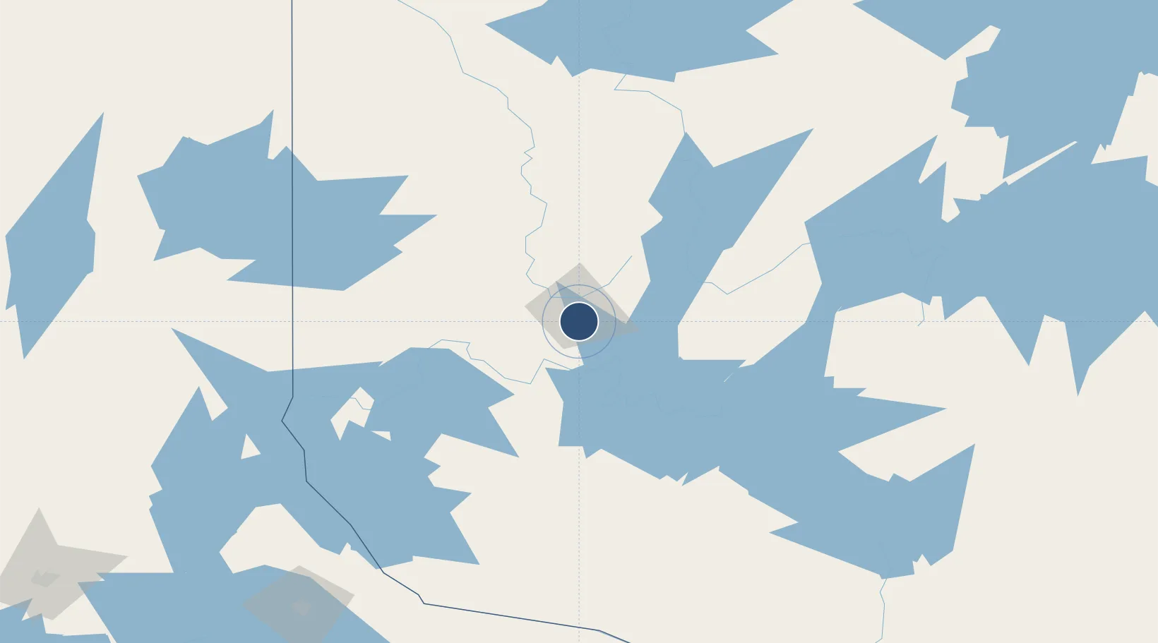
48.0533°, -77.7828°
10,000 ft
Longest runway
1
Runways
1,107 ft
Elevation
Runway & Layout

Radio Frequencies
MF
118.5 MHz
Val-d'Or Radio
PAL
125.9 MHz
Montreal Centre
RADIO
118.5 MHz
Val-d'Or Radio/Traffic
RCO
126.7 MHz
Quebec Radio
Navaids
VO NDB Val-d'Or 239 kHz
YVO VOR-DME Val-d'Or 113.70 MHz
Runways · 1
| Runway | Dimensions | Surface | True heading | Lit |
|---|---|---|---|---|
| 18/36 | 10,000 × 150ft | Asphalt | 169° | ✓ |
Airport Specifications
IATA code
YVO
ICAO code
CYVO
Airport class
Medium airport
Scheduled service
Yes
Runway surface
Asphalt
Served city
Val-d'Or
Location
Nearby Logistics Neighbours
Airports
- 1Amos/Magny Airport67 km
- 2Rouyn Noranda Airport80 km
- 3Earlton (Timiskaming Regional) Airport159 km
- 4Kirkland Lake Airport164 km
- 5Matagami Airport190 km
Cities
- 1Malartic26 km
- 2Cadillac48 km
- 3Senneterre55 km
- 4Preissac58 km
- 5Rouyn-Noranda94 km
Ports
- 1Gatineau329 km
- 2Key Harbour330 km
- 3Byng Inlet331 km
- 4Hull332 km
- 5Ottawa332 km
Trade Zones
- 1FTZ No. 118 Ogdensburg411 km
- 2Greater Montreal Free Zone Center428 km
- 3FTZ No. 109 Watertown475 km
- 4Québec City FTZ509 km
- 5FTZ No. 090 Onondaga521 km
DatabookThe Record of Consolidated Knowledge
Canada beyond logistics?