Transport Functions
Multimodal
Hub Profile
Place type
Populated place
Region
Quebec
Time zone
America/Toronto
Elevation
318 m
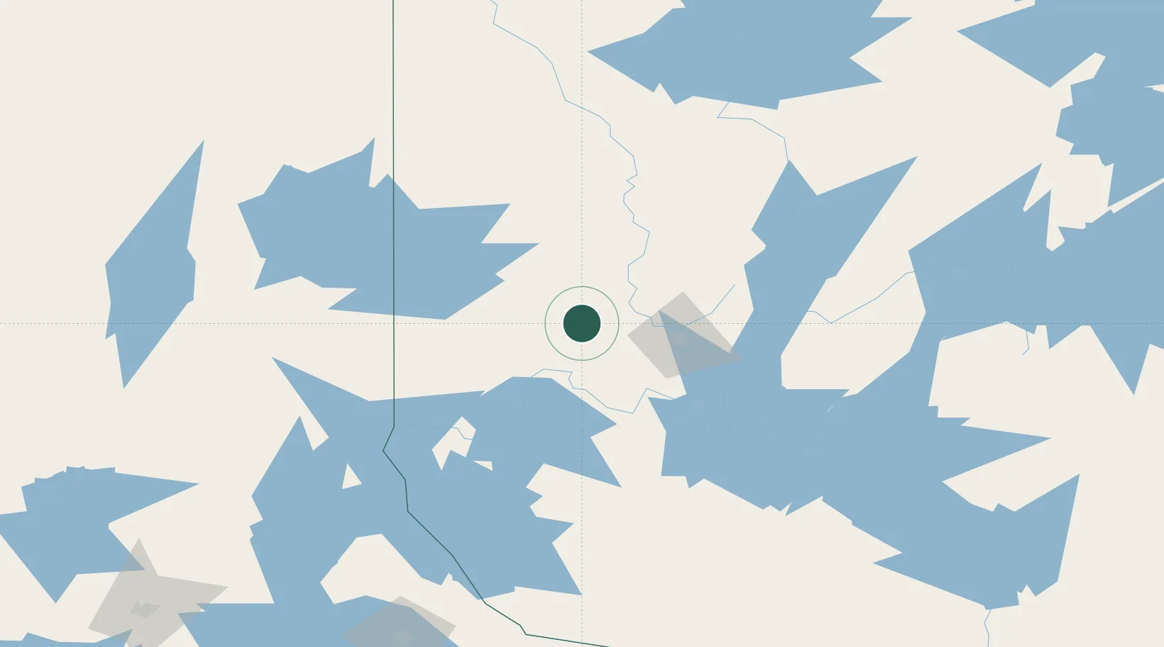
Location
Nearby Logistics Neighbours
Cities
- 1Preissac20 km
- 2Malartic22 km
- 3Rouyn-Noranda47 km
- 4Senneterre86 km
- 5Laverlochère112 km
Ports
- 1Key Harbour315 km
- 2Byng Inlet319 km
- 3Parry Sound344 km
- 4Killarney345 km
- 5Little Current366 km
Airports
- 1Rouyn Noranda Airport34 km
- 2Amos/Magny Airport40 km
- 3Val-d'Or Airport48 km
- 4Kirkland Lake Airport118 km
- 5Earlton (Timiskaming Regional) Airport123 km
Trade Zones
- 1FTZ No. 118 Ogdensburg448 km
- 2Greater Montreal Free Zone Center474 km
- 3FTZ No. 016 Sault Ste. Marie493 km
- 4FTZ No. 109 Watertown508 km
- 5FTZ No. 034 Niagara County547 km
DatabookThe Record of Consolidated Knowledge
Canada beyond logistics?