Transport Functions
Port
Rail
Road
Multimodal
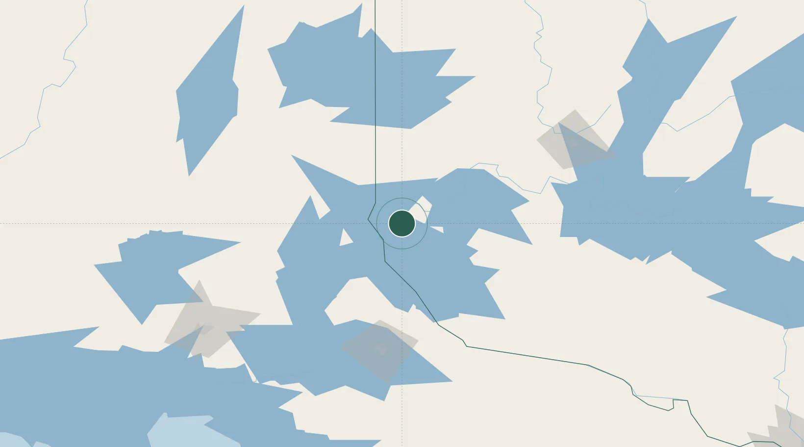
Hub Profile
Place type
Populated place
Region
Quebec
Time zone
America/Toronto
Elevation
274 m
Location
Nearby Logistics Neighbours
Cities
- 1New Liskeard30 km
- 2Latchford40 km
- 3Temagami54 km
- 4Rouyn-Noranda93 km
- 5Cadillac112 km
Ports
- 1Key Harbour204 km
- 2Byng Inlet208 km
- 3Killarney235 km
- 4Parry Sound239 km
- 5Little Current257 km
Airports
- 1Earlton (Timiskaming Regional) Airport53 km
- 2Rouyn Noranda Airport94 km
- 3Kirkland Lake Airport103 km
- 4North Bay Jack Garland Airport118 km
- 5Val-d'Or Airport133 km
Trade Zones
- 1FTZ No. 118 Ogdensburg419 km
- 2FTZ No. 034 Niagara County455 km
- 3FTZ No. 109 Watertown463 km
- 4FTZ No. 141 Monroe County471 km
- 5Niagara Foreign Trade Zone481 km
DatabookThe Record of Consolidated Knowledge
Canada beyond logistics?