Transport Functions
Rail
Road
Airport
Hub Profile
Place type
Populated place
Region
Quebec
Population
23,504
Time zone
America/Toronto
Elevation
299 m
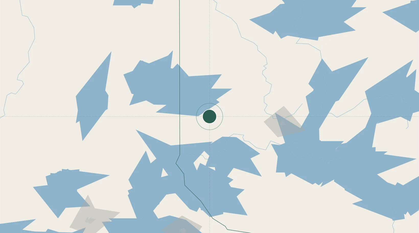
Location
Nearby Logistics Neighbours
Cities
- 1Cadillac47 km
- 2Preissac52 km
- 3Malartic68 km
- 4Laverlochère93 km
- 5New Liskeard95 km
Ports
- 1Key Harbour292 km
- 2Byng Inlet298 km
- 3Killarney315 km
- 4Parry Sound332 km
- 5Little Current334 km
Airports
- 1Rouyn Noranda Airport14 km
- 2Amos/Magny Airport68 km
- 3Kirkland Lake Airport72 km
- 4Earlton (Timiskaming Regional) Airport86 km
- 5Val-d'Or Airport94 km
Trade Zones
- 1FTZ No. 016 Sault Ste. Marie450 km
- 2FTZ No. 118 Ogdensburg475 km
- 3Greater Montreal Free Zone Center513 km
- 4FTZ No. 109 Watertown530 km
- 5FTZ No. 034 Niagara County546 km
DatabookThe Record of Consolidated Knowledge
Canada beyond logistics?