Transport Functions
Port
Airport
Hub Profile
Place type
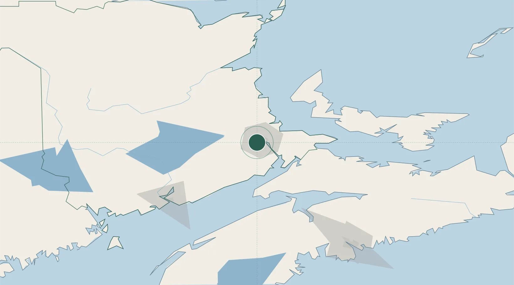
Populated place
Region
New Brunswick
Population
86,106
Time zone
America/Moncton
Elevation
30 m
Logistics facilities
1
Location
Nearby Logistics Neighbours
Cities
- 1Grande-Digue34 km
- 2Bouctouche46 km
- 3Penobsquis51 km
- 4Shemogue54 km
- 5Amherst59 km
Ports
- 1Summerside91 km
- 2St John128 km
- 3Canaport (St. John)130 km
- 4Windsor132 km
- 5Charlottetown135 km
Airports
- 1Greater Moncton Roméo LeBlanc International Airport16 km
- 2Summerside Airport90 km
- 3Fox Harbour Airport111 km
- 4Miramichi Airport113 km
- 5Saint John Airport116 km
Trade Zones
- 1Saint John129 km
- 2Halifax Gateway187 km
- 3FTZ No. 179 Madawaska297 km
- 4Cape Breton Regional Municipality Foreign Trade Zone318 km
- 5FTZ No. 058 Bangor338 km
DatabookThe Record of Consolidated Knowledge
Canada beyond logistics?