Transport Functions
Rail
Road
Multimodal
Hub Profile
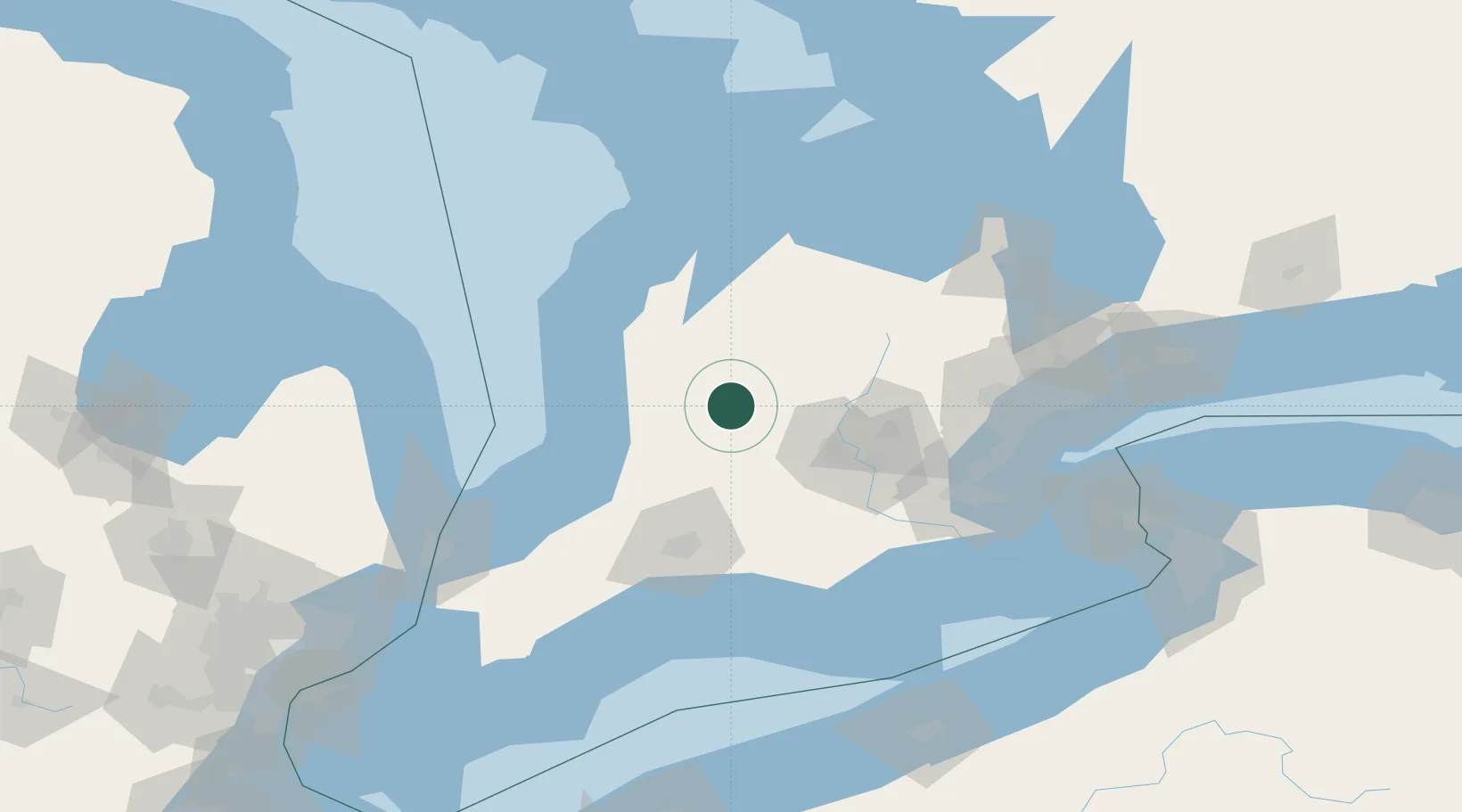
Place type
Populated place
Region
Ontario
Time zone
America/Toronto
Elevation
370 m
Location
Nearby Logistics Neighbours
Cities
- 1Milverton13 km
- 2Millbank19 km
- 3Palmerston23 km
- 4Walton23 km
- 5Gorrie24 km
Ports
- 1Goderich58 km
- 2Port Elgin91 km
- 3Southampton97 km
- 4Owen Sound102 km
- 5Hamilton105 km
Airports
Trade Zones
- 1FTZ No. 210 St. Clair County154 km
- 2FTZ No. 034 Niagara County158 km
- 3Niagara Foreign Trade Zone172 km
- 4FTZ No. 247 Erie188 km
- 5FTZ No. 023 Buffalo195 km
DatabookThe Record of Consolidated Knowledge
Canada beyond logistics?