Transport Functions
Rail
Road
Multimodal
Hub Profile
Place type
Populated place
Region
Ontario
Time zone
America/Toronto
Elevation
401 m
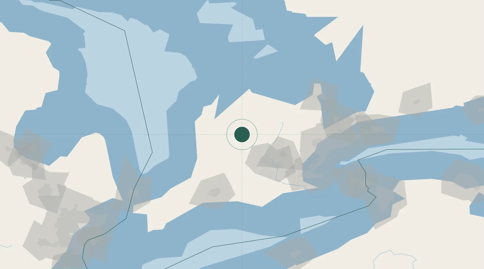
Location
Nearby Logistics Neighbours
Ports
- 1Goderich72 km
- 2Port Elgin80 km
- 3Owen Sound84 km
- 4Southampton86 km
- 5Thornbury88 km
Airports
Trade Zones
- 1FTZ No. 034 Niagara County151 km
- 2Niagara Foreign Trade Zone167 km
- 3FTZ No. 210 St. Clair County176 km
- 4FTZ No. 023 Buffalo192 km
- 5FTZ No. 247 Erie200 km
DatabookThe Record of Consolidated Knowledge
Canada beyond logistics?