UN/LOCODE hub · Canada
CAALV

Atholville

47.9833°, -66.7167°
3,290
Population
3
Transport functions

Transport Functions

Port
Rail
Road
UN/LOCODE

Hub Profile

Place type
Populated place
GeoNames
Region
New Brunswick
GeoNames
Population
3,290
GeoNames
Time zone
America/Moncton
GeoNames
Elevation
71 m
GeoNames

Location

Location of CAALV
Natural Earth 10m (public domain) · New Brunswick · CAALV · 47.98, -66.72GoogleOSMYandex

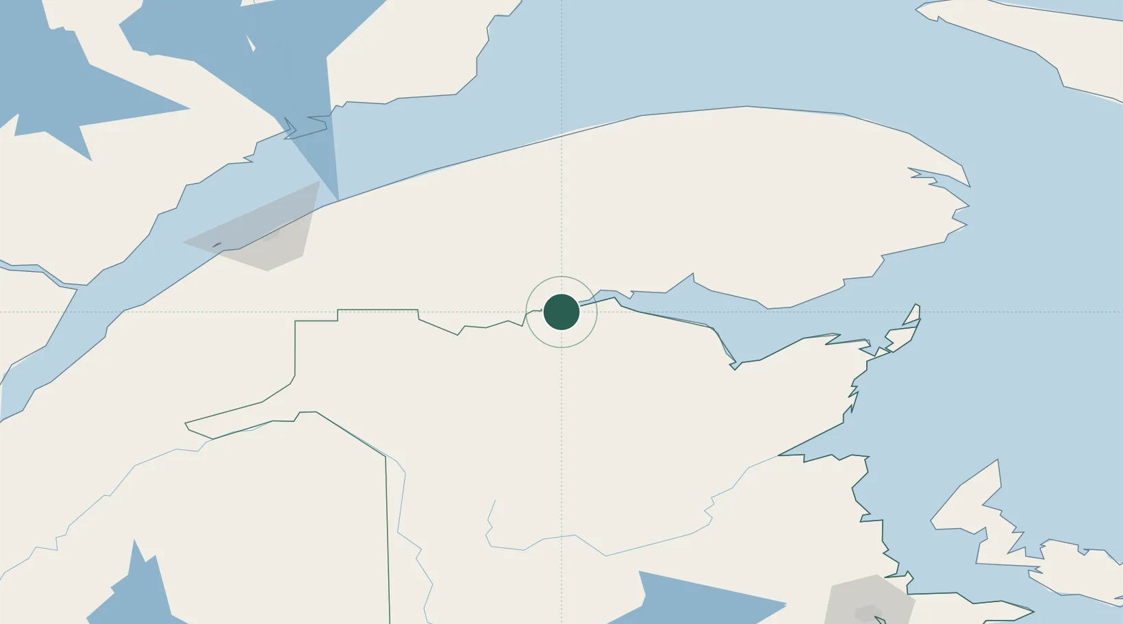
Nearby Logistics Neighbours

Cities
  1. 1Beresford83 km
  2. 2Les Mechins115 km
  3. 3Cap-Chat122 km
  4. 4Sainte-Anne-des-Monts127 km
  5. 5Grand Falls129 km
Nearest neighbours — logibook spatial index (haversine) over the source coordinates
Ports
  1. 1Dalhousie28 km
  2. 2Matane114 km
  3. 3Caraquet135 km
  4. 4Rimouski143 km
  5. 5Shippegan153 km
Nearest neighbours — logibook spatial index (haversine) over the source coordinates
Airports
  1. 1Charlo Airport29 km
  2. 2Bathurst Airport83 km
  3. 3Bonaventure Airport94 km
  4. 4Matane Airport111 km
  5. 5Saint-Léonard Airport125 km
Nearest neighbours — logibook spatial index (haversine) over the source coordinates
Trade Zones
  1. 1FTZ No. 179 Madawaska145 km
  2. 2Saint John305 km
  3. 3Québec City FTZ365 km
  4. 4FTZ No. 058 Bangor388 km
  5. 5Halifax Gateway442 km
Nearest neighbours — logibook spatial index (haversine) over the source coordinates
DatabookThe Record of Consolidated Knowledge
Canada beyond logistics?
Browse databook

All Sources

LocationsUN/LOCODE
UN/LOCODE — free
LocationsGeoNames
CC BY 4.0
Portsthe NGA World Port Index
Public domain (US gov)
AirportsOurAirports
Public domain
Trade Zonesthe World Bank SEZ database
CC BY 4.0
Trade ZonesOpen Zone Map
CC BY
← Canada locations