Transport Functions
Port
Road
Hub Profile
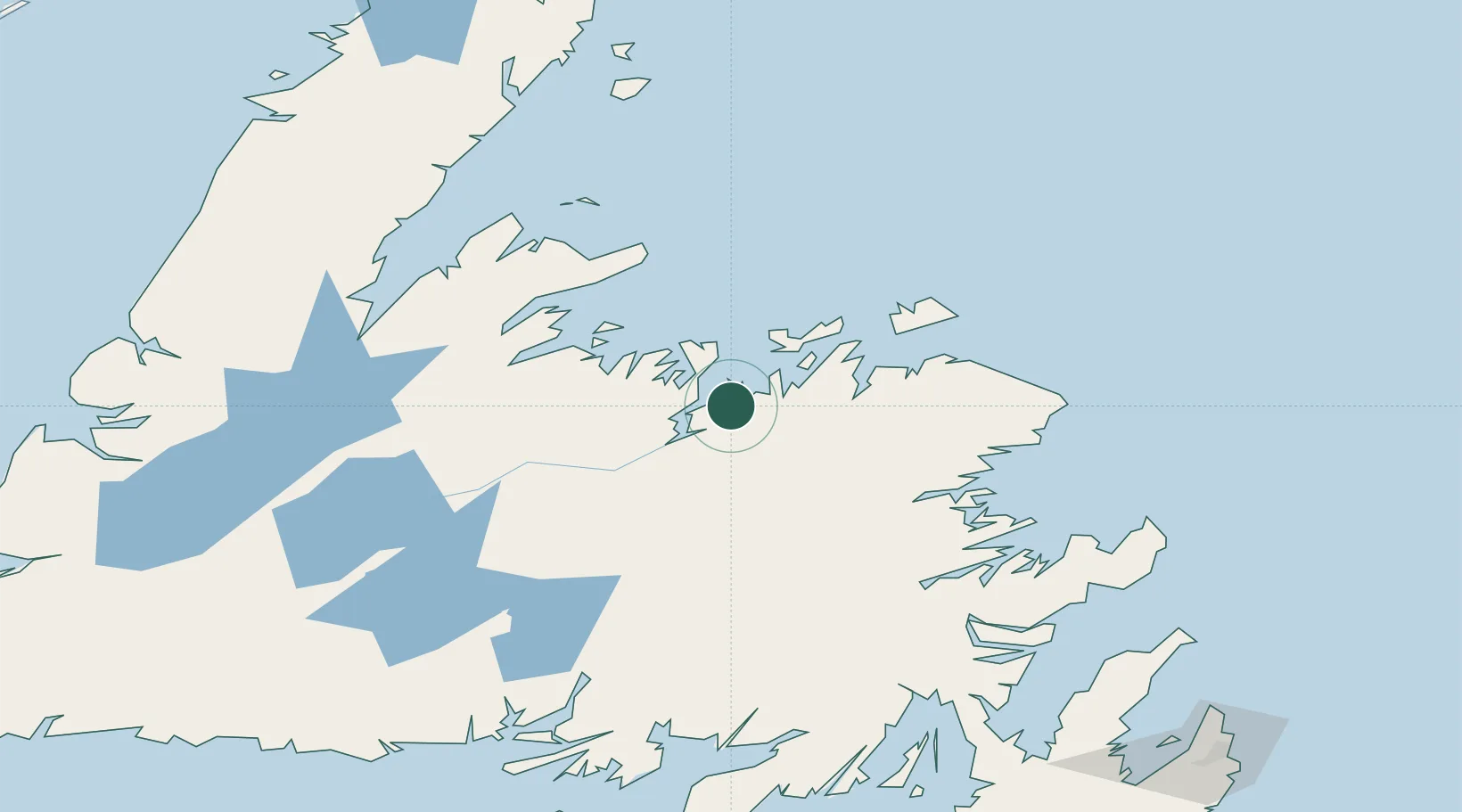
Place type
Populated place
Region
Newfoundland and Labrador
Population
2,174
Time zone
America/St_Johns
Elevation
6 m
Location
Nearby Logistics Neighbours
Cities
- 1Comfort Cove18 km
- 2Botwood24 km
- 3Gander49 km
- 4Twillingate52 km
- 5Carmanville60 km
Ports
- 1Botwood22 km
- 2Twillingate51 km
- 3Carmanville61 km
- 4Springdale78 km
- 5Baie Verte112 km
Airports
- 1Gander International Airport49 km
- 2Fogo Airport76 km
- 3Deer Lake Airport169 km
- 4St. John's International Airport248 km
- 5St. Anthony Airport251 km
Trade Zones
- 1Crossroads Business Park48 km
- 2Cape Breton Regional Municipality Foreign Trade Zone545 km
- 3Halifax Gateway822 km
- 4Saint John939 km
- 5FTZ No. 179 Madawaska1005 km
DatabookThe Record of Consolidated Knowledge
Canada beyond logistics?