Transport Functions
Port
Road
Airport
Hub Profile
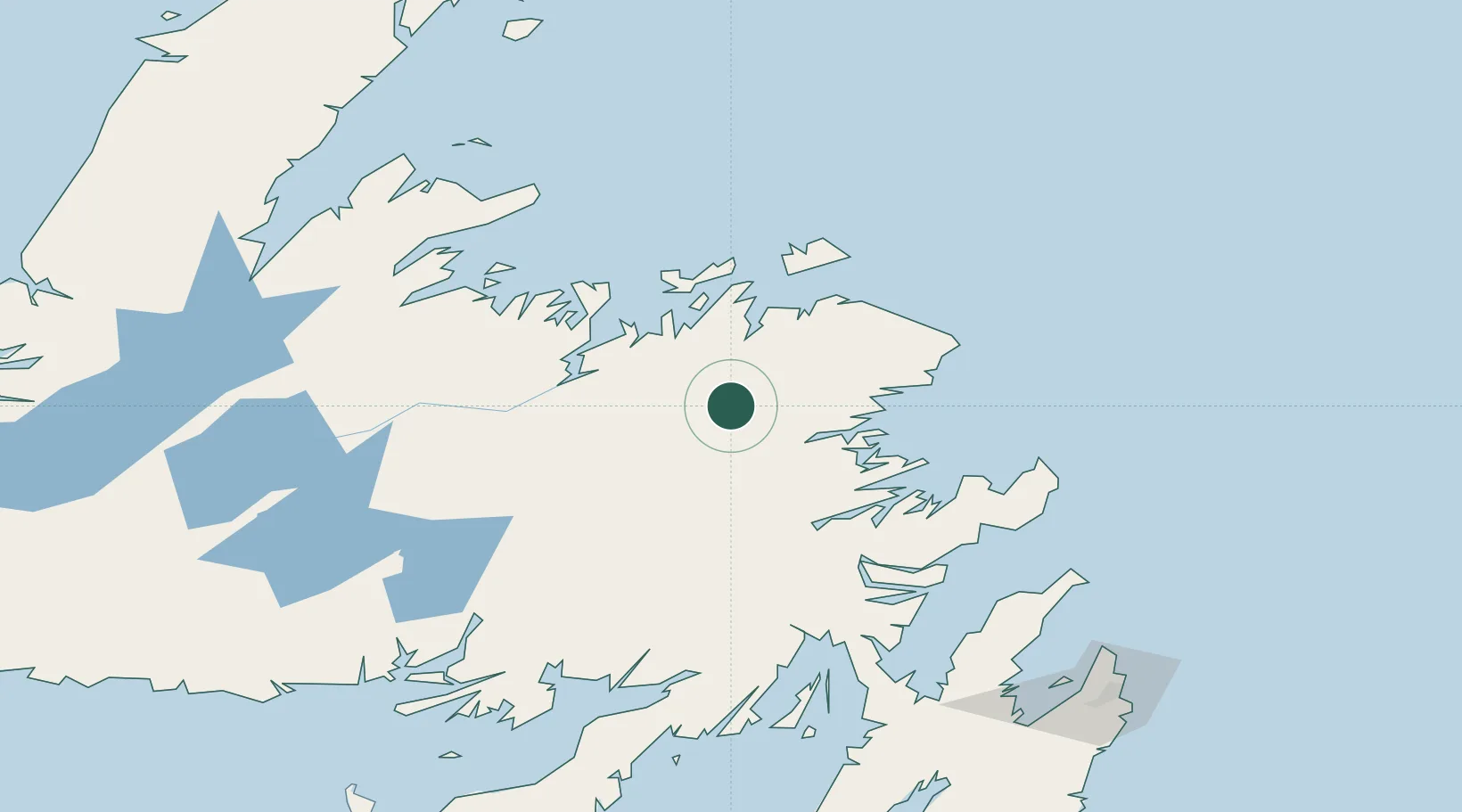
Place type
Populated place
Region
Newfoundland and Labrador
Population
11,688
Time zone
America/St_Johns
Elevation
136 m
Location
Nearby Logistics Neighbours
Cities
- 1Centreville48 km
- 2Comfort Cove49 km
- 3Lewisporte49 km
- 4Carmanville51 km
- 5Burnside62 km
Ports
- 1Lewisporte49 km
- 2Carmanville54 km
- 3Botwood61 km
- 4Twillingate79 km
- 5Clarenville97 km
Airports
- 1Gander International Airport2 km
- 2Fogo Airport82 km
- 3St. John's International Airport199 km
- 4Deer Lake Airport209 km
- 5Miquelon Airport247 km
Trade Zones
- 1Crossroads Business Park2 km
- 2Cape Breton Regional Municipality Foreign Trade Zone559 km
- 3Halifax Gateway837 km
- 4Saint John961 km
- 5FTZ No. 179 Madawaska1039 km
DatabookThe Record of Consolidated Knowledge
Canada beyond logistics?